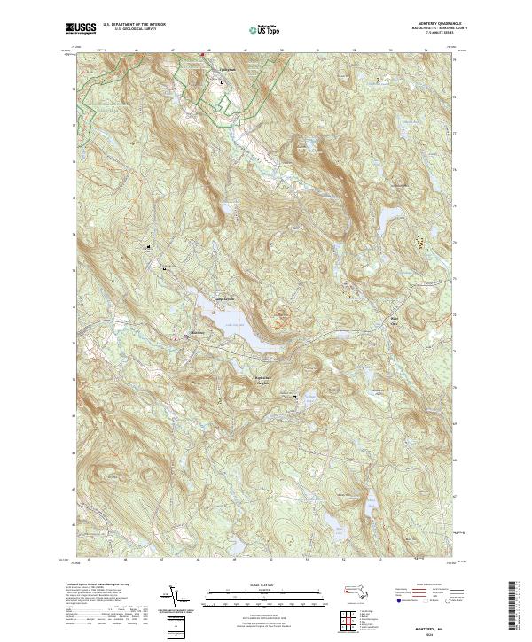
2024 Map of Monterey
USGS Topo · Published 2024About this map
The Tyringham Valley serves as a central corridor for this part of the Berkshire Hills, where the Appalachian National Scenic Trail winds across the high ground of Sky Hill and Cobble Hill. This area is defined by its deep hydrographic network, including the Konkapot River and a collection of significant water bodies like Lake Garfield and Shaker Pond. The map documents established communities at Monterey and Tyringham, while smaller residential pockets like Hephzibah Heights sit among the slopes.
Find a feature on this map
63 named features on this map. Tap any name to fly to it.
Don’t see what you’re looking for? This feature index may not catch every label — zoom into the map to look around manually.
Map Details
Editions of this 2024 Monterey Map
This is the sole edition of this map. No revisions or reprints were ever made.
Other maps of this area

1885 · Sheffield
USGS Topo · 1:62,500

1886 · Becket
USGS Topo · 1:62,500

1888 · Sheffield
USGS Topo · 1:62,500

1888 · Becket
USGS Topo · 1:62,500

1888 · Sandisfield
USGS Topo · 1:62,500

1888 · Pittsfield
USGS Topo · 1:62,500

1890 · Pittsfield
USGS Topo · 1:62,500

1891 · Sheffield
USGS Topo · 1:62,500

1893 · Becket
USGS Topo · 1:62,500

1893 · Sheffield
USGS Topo · 1:62,500