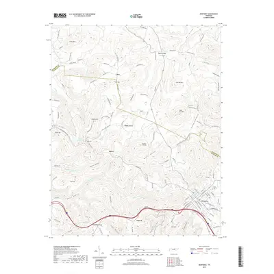
2019 Map of Monterey
USGS Topo · Published 2019About this map
The town of Monterey sits at the intersection of early mountain travel and modern interstate transit, anchored by the headwaters of the Falling Water River. This survey captures the complex topography of the Cumberland Plateau, where the boundary between Overton Co and Putnam Co snakes through steep ridgelines and isolated valleys like Dry Hollow and Sinking Cane Hollow. The landscape is dotted with small, dispersed settlements such as Shady Grove, Bilbrey, and Sand Springs, many of which grew around family homesteads and local landmarks like Bee Rock. The distribution of burial grounds, including the Welch Memorial Cem and Brotherton Cem, points to a long-established rural community fabric. Notable natural features like Kitty Ray Mtn and Potato Hill Mtn define the area’s rugged character, while the presence of Gordon Hunter Lake and Hurricane Cr highlights the region's diverse water system.
Find a feature on this map
117 named features on this map. Tap any name to fly to it.
Don’t see what you’re looking for? This feature index may not catch every label — zoom into the map to look around manually.
Map Details
Editions of this 2019 Monterey Map
This is the sole edition of this map. No revisions or reprints were ever made.
Other maps of this area

1897 · Standingstone
USGS Topo · 1:125,000

1898 · Standingstone
USGS Topo · 1:125,000

1935 · Campbell Junction
USGS Topo · 1:24,000

1943 · Cookeville
USGS Topo · 1:100,000

1944 · Cookeville
USGS Topo · 1:100,000

1946 · Campbell Junction
USGS Topo · 1:24,000

1946 · Obey City
USGS Topo · 1:24,000
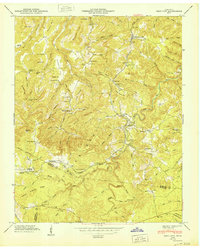
1950 · Obey City
USGS Topo · 1:24,000
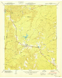
1950 · Campbell Junction
USGS Topo · 1:24,000

1951 · Windle
USGS Topo · 1:24,000