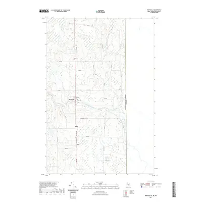
2021 Map of Monticello
USGS Topo · Published 2021About this map
Monticello sits at the heart of this Aroostook County landscape, where the North Branch Meduxnekeag River meanders through a terrain defined by glacial lakes and agricultural woodlots. The map documents the persistent rural character of the Maine-New Brunswick borderlands, specifically marking the international boundary between the United States of America and Canada along the eastern edge. For genealogists, the map identifies several small burial grounds, including Jewell Cem, Village Cem, and Foster Cem, which anchor the local history of nearby settlements like Sharp and Hill. A dense network of local roads such as Station Rd and Hill Siding Rd suggests the historical importance of the railway corridor that once served these upland communities. Scattered water bodies like Jewell Lake, Conroy Lake, and Gentle Lake dot the countryside, providing a clear view of the drainage patterns north of Lowell Hill.
Find a feature on this map
43 named features on this map. Tap any name to fly to it.
Don’t see what you’re looking for? This feature index may not catch every label — zoom into the map to look around manually.
Map Details
Editions of this 2021 Monticello Map
This is the sole edition of this map. No revisions or reprints were ever made.
Other maps of this area

1934 · Bridgewater
USGS Topo · 1:48,000

1938 · Bridgewater
USGS Topo · 1:62,500

1938 · Houlton
USGS Topo · 1:62,500

1951 · Houlton
USGS Topo · 1:62,500

1951 · Bridgewater
USGS Topo · 1:62,500

1953 · Bridgewater
USGS Topo · 1:50,000

1959 · Woodstock
USGS Topo · 1:250,000

1963 · Woodstock
USGS Topo · 1:250,000
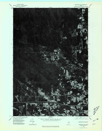
1975 · Houlton NW
USGS Topo · 1:24,000
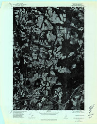
1975 · Houlton NE
USGS Topo · 1:24,000