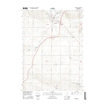
2015 Map of Monticello
USGS Topo · Published 2015About this map
The Maquoketa River winds through the northern reaches of Monticello, anchoring a landscape where long-established agricultural roads and scattered family cemeteries define the rural character. This modern topographic survey highlights a network of small settlements beyond the main town, including Langworthy, Amber, and Edinburg, each maintaining its own distinct identity through local landmarks. For genealogists, the map is particularly useful for locating numerous burial grounds such as Oakwood Cem, Saint Johns Evangelical Cem, and Wayne Zion Cem. The transport infrastructure is dominated by the diagonal path of the regional airport and several named creeks like Kitty Cr and Mineral Cr. The transition from the settled grid of Monticello to the surrounding townships of t86n r3w and t85n r3w reflects the enduring rural structure of Jones County.
Find a feature on this map
45 named features on this map. Tap any name to fly to it.
Don’t see what you’re looking for? This feature index may not catch every label — zoom into the map to look around manually.
Map Details
Editions of this 2015 Monticello Map
This is the sole edition of this map. No revisions or reprints were ever made.
Other maps of this area

1890 · Anamosa
USGS Topo · 1:62,500

1891 · Monticello
USGS Topo · 1:62,500

1900 · Anamosa
USGS Topo · 1:125,000

1959 · Dubuque
USGS Topo · 1:250,000

1961 · Dubuque
USGS Topo · 1:250,000

1962 · Dubuque
USGS Topo · 1:250,000

1966 · Hopkinton East
USGS Topo · 1:24,000
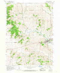
1966 · Cascade
USGS Topo · 1:24,000
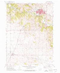
1973 · Anamosa
USGS Topo · 1:24,000
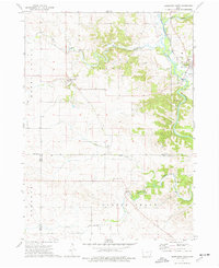
1973 · Hopkinton West
USGS Topo · 1:24,000