2023 Map of Montpelier
USGS Topo · Published 2023About this map
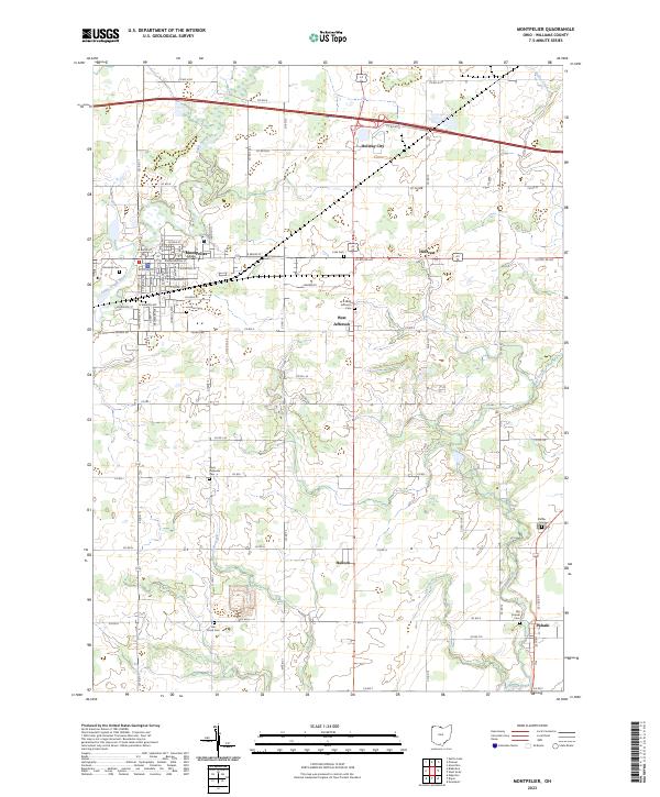
Montpelier serves as the regional anchor of this northwest Ohio landscape, where the Saint Joseph River winds through the northwestern corner of the quadrangle. The town's grid is detailed with residential streets like Maplehurst Ave and E Main St, while several outlying settlements such as West Jefferson, Pulaski, and Holiday City define the surrounding township sections. The area is marked by a high density of rural burial grounds, including Riverside Cem, Louden Cem, and Lick Creek Cem, which offer significant value for genealogical research. The hydrography of the region is defined by the systems of Lick Creek, Lost Creek, and Beaver Creek, illustrating the natural drainage patterns that have shaped the development of Williams County. A network of county roads, such as Co Rd 13 and Co Rd N, connects the agricultural parcels and small communities throughout the townships.
Find a feature on this map
71 named features on this map. Tap any name to fly to it.
Don’t see what you’re looking for? This feature index may not catch every label — zoom into the map to look around manually.
Map Details
Editions of this 2023 Montpelier Map
This is the sole edition of this map. No revisions or reprints were ever made.
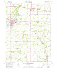
Historical Maps of Madison Township Through Time
Featured Locations
- Bridgewater Township, OH
- Center Township, OH
- Holiday City, OH
- Montpelier, Superior Township
- Pulaski, Pulaski Township