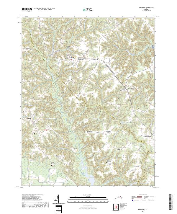
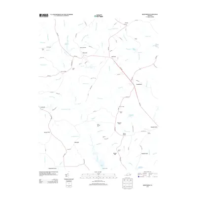
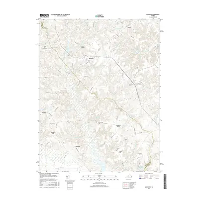
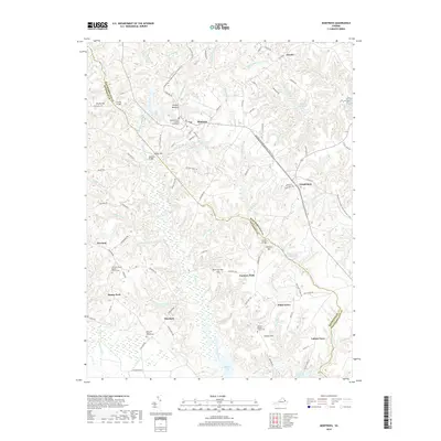
2022 Map of Montross
USGS Topo · Published 2022About this map
Montross serves as the seat of Westmoreland County, centered around the Westmoreland County Courthouse and a network of roads that branch out into the surrounding agricultural and marshy landscape. The geography is defined by a dense system of wetlands and tidal inlets, with Cat Point Creek and Canal Swamp carving through the center of the quadrangle. Many of these waterways were historically dammed for industrial or agricultural use, as evidenced by several large bodies of water such as Chandlers Millpond, Weavers Millpond, and Omohundro Millpond.
Find a feature on this map
62 named features on this map. Tap any name to fly to it.
Don’t see what you’re looking for? This feature index may not catch every label — zoom into the map to look around manually.
Map Details
Editions of this 2022 Montross Map
This is the sole edition of this map. No revisions or reprints were ever made.
Historical Maps of Montross Through Time
10 maps found
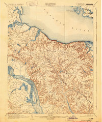
1892 Montross
Westmoreland County, VA
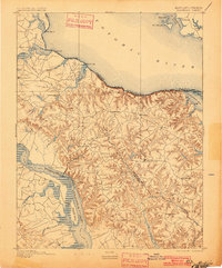
1895 Montross
Westmoreland County, VA
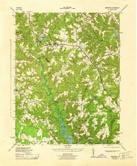
1943 Montross
Westmoreland County, VA
1944 Montross
Westmoreland County, VA
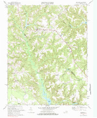
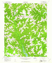
1968 Montross
Westmoreland County, VA
2011 Montross
Westmoreland County, VA
2013 Montross
Westmoreland County, VA
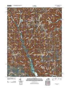
2016 Montross
Westmoreland County, VA
2019 Montross
Westmoreland County, VA
2022 Montross
Westmoreland County, VA