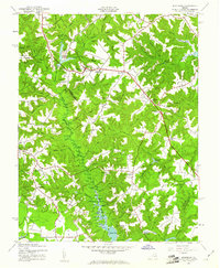
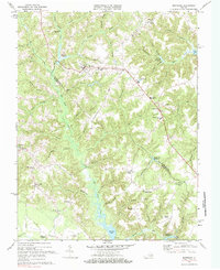
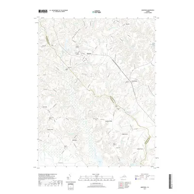
1943 Map of Montross
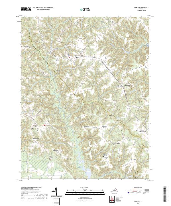
USGS Topo · Published 1961About this map
Montross serves as the focal point of this 1940s landscape, situated at a junction of regional roads that connect the town to outlying rural communities like Zacata and Templeman. The terrain is defined by an intricate network of drainages such as Sanford Swamp and Mammy Swamp, which give way to significant water bodies like Chandlers Millpond and Omuhundra Millpond. These millponds suggest a history of local industry powered by the slow-moving branches of Cat Point Creek and its tributaries.
Find a feature on this map
78 named features on this map. Tap any name to fly to it.
Don’t see what you’re looking for? This feature index may not catch every label — zoom into the map to look around manually.
Map Details
Editions of this 1943 Montross Map
This is the sole edition of this map. No revisions or reprints were ever made.
Historical Maps of Montross Through Time
10 maps found
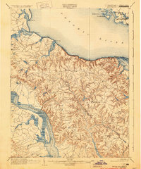
1892 Montross
Westmoreland County, VA
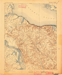
1895 Montross
Westmoreland County, VA
1943 Montross
Westmoreland County, VA
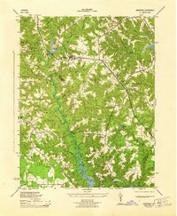
1944 Montross
Westmoreland County, VA
1968 Montross
Westmoreland County, VA
2011 Montross
Westmoreland County, VA
2013 Montross
Westmoreland County, VA
2016 Montross
Westmoreland County, VA
2019 Montross
Westmoreland County, VA
2022 Montross
Westmoreland County, VA