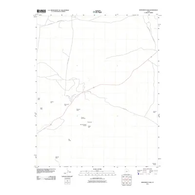
2011 Map of Monument Pass
USGS Topo · Published 2011About this map
Monument Pass serves as a focal point for this high-desert landscape in San Juan County, where iconic landforms rise from the Colorado Plateau. This area is characterized by distinctively named geological features that have long served as navigational landmarks, such as Brighams Tomb and King-on-his-Throne. The map details a network of local thoroughfares including Halgaitoh Rd and Douglas Mesa Rd that weave between massive formations like Eagle Mesa and Sentinel Mesa.
Find a feature on this map
20 named features on this map. Tap any name to fly to it.
Don’t see what you’re looking for? This feature index may not catch every label — zoom into the map to look around manually.
Map Details
Editions of this 2011 Monument Pass Map
This is the sole edition of this map. No revisions or reprints were ever made.
Other maps of this area

1883 · Marsh Pass
USGS Topo · 1:250,000

1886 · Henry Mountains
USGS Topo · 1:250,000

1886 · Abajo
USGS Topo · 1:250,000

1892 · Marsh Pass
USGS Topo · 1:250,000

1892 · Abajo
USGS Topo · 1:250,000

1892 · Henry Mountains
USGS Topo · 1:250,000

1892 · Canyon De Chelly
USGS Topo · 1:250,000

1893 · Abajo
USGS Topo · 1:250,000

1952 · Clay Hills 4 SW
USGS Topo · 1:24,000

1952 · Agathla Peak 1 NW
USGS Topo · 1:24,000