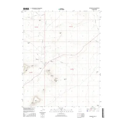
2017 Map of Monument Pass
USGS Topo · Published 2017About this map
Monument Pass serves as a focal point in this high-desert landscape of San Juan County, Utah, where the Colorado Plateau reveals a remarkable concentration of geological landmarks. The terrain is characterized by massive formations such as Douglas Mesa and Eagle Mesa, alongside anthropomorphized features that reflect the cultural naming traditions of the area, including King-on-his-Throne, Setting Hen, and Brighams Tomb.
Find a feature on this map
37 named features on this map. Tap any name to fly to it.
Don’t see what you’re looking for? This feature index may not catch every label — zoom into the map to look around manually.
Map Details
Editions of this 2017 Monument Pass Map
This is the sole edition of this map. No revisions or reprints were ever made.
Other maps of this area

1883 · Marsh Pass
USGS Topo · 1:250,000

1886 · Henry Mountains
USGS Topo · 1:250,000

1886 · Abajo
USGS Topo · 1:250,000

1892 · Marsh Pass
USGS Topo · 1:250,000

1892 · Abajo
USGS Topo · 1:250,000

1892 · Henry Mountains
USGS Topo · 1:250,000

1892 · Canyon De Chelly
USGS Topo · 1:250,000

1893 · Abajo
USGS Topo · 1:250,000

1952 · Clay Hills 4 SW
USGS Topo · 1:24,000

1952 · Agathla Peak 1 NW
USGS Topo · 1:24,000