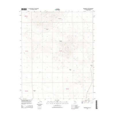
2015 Map of Monumental Pass
USGS Topo · Published 2015About this map
Sacramento Mountains terrain dominates this portion of the Mojave Desert in San Bernardino County. The topography is defined by significant elevation changes, most notably at Monumental Pass and Lobecks Pass, which provide natural transit points through the desert highlands. To the south, the landscape opens into the Chemehuevi Valley, where the land begins to level out. A single major transportation artery, Route 95, cuts through the southeastern corner of the sheet, providing the primary modern connection through this arid environment. This 2015 survey illustrates how the physical geography of the desert continues to dictate the path of infrastructure, with the highway skirting the base of the mountains to maintain a navigable grade.
Find a feature on this map
12 named features on this map. Tap any name to fly to it.
Don’t see what you’re looking for? This feature index may not catch every label — zoom into the map to look around manually.
Map Details
Editions of this 2015 Monumental Pass Map
This is the sole edition of this map. No revisions or reprints were ever made.
Other maps of this area

1903 · Needles
USGS Topo · 1:125,000

1904 · Needles Special
USGS Topo · 1:125,000

1943 · Center Hills
USGS Topo · 1:62,500

1943 · Bannock
USGS Topo · 1:62,500

1950 · Sawtooth Range
USGS Topo · 1:62,500

1950 · Needles
USGS Topo · 1:62,500

1951 · Sawtooth Range
USGS Topo · 1:62,500

1952 · Needles
USGS Topo · 1:62,500

1954 · Needles
USGS Topo · 1:250,000

1956 · Needles
USGS Topo · 1:250,000