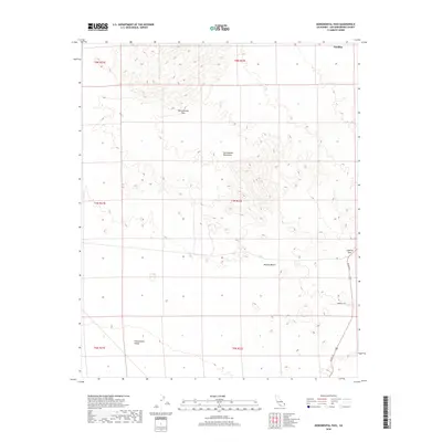
2018 Map of Monumental Pass
USGS Topo · Published 2018About this map
Sacramento Mountains dominate the upper half of this 2018 survey, providing the namesake backdrop for Monumental Pass. The terrain here transitions from these high desert ridges down into the expansive Mojave Desert and the southern Chemehuevi Valley. This arid landscape is largely defined by its natural topography, though human transit is marked by the path of US Rte 95 as it cuts through the eastern edge of the quadrangle. Travelers through this portion of San Bernardino County navigate the elevation changes at Lobecks Pass and access the desert interior via local routes like Stonehill Rd. The map illustrates the stark geography south of Needles, showing a region where the land's form dictates the limited corridors for infrastructure and settlement.
Find a feature on this map
13 named features on this map. Tap any name to fly to it.
Don’t see what you’re looking for? This feature index may not catch every label — zoom into the map to look around manually.
Map Details
Editions of this 2018 Monumental Pass Map
This is the sole edition of this map. No revisions or reprints were ever made.
Other maps of this area

1903 · Needles
USGS Topo · 1:125,000

1904 · Needles Special
USGS Topo · 1:125,000

1943 · Center Hills
USGS Topo · 1:62,500

1943 · Bannock
USGS Topo · 1:62,500

1950 · Sawtooth Range
USGS Topo · 1:62,500

1950 · Needles
USGS Topo · 1:62,500

1951 · Sawtooth Range
USGS Topo · 1:62,500

1952 · Needles
USGS Topo · 1:62,500

1954 · Needles
USGS Topo · 1:250,000

1956 · Needles
USGS Topo · 1:250,000