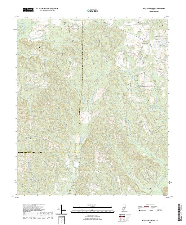
2024 Map of Moodys Crossroads
USGS Topo · Published 2024About this map
Moodys Crossroads serves as a central hub for this portion of Crenshaw County, where rural life is defined by a dense network of creeks and family cemeteries. The landscape is characterized by the winding path of Patsaliga Creek and its many tributaries, including Piney Woods Creek and Hard Labor Creek, which carve through the terrain south of Robinson Crossroads. This map reveals a high density of small family or community burial grounds, such as Howard Cem, Bedgood Cem, and Wren Cem, illustrating the deep-rooted genealogical history of the area. The presence of Pigeon Creek Swamp and Moodys Lake in the north indicates the low-lying, water-rich nature of the land, while named roads like Bedgood Rd and S Franklin Rd suggest long-standing local family connections to specific parcels of land.
Find a feature on this map
74 named features on this map. Tap any name to fly to it.
Don’t see what you’re looking for? This feature index may not catch every label — zoom into the map to look around manually.
Map Details
Editions of this 2024 Moodys Crossroads Map
This is the sole edition of this map. No revisions or reprints were ever made.
Other maps of this area

1953 · Andalusia
USGS Topo · 1:250,000

1957 · Andalusia
USGS Topo · 1:250,000

1971 · Industry
USGS Topo · 1:24,000

1971 · Luverne
USGS Topo · 1:24,000

1971 · Brantley
USGS Topo · 1:24,000

1971 · Fullers Crossroads
USGS Topo · 1:24,000

1971 · Pigeon Creek
USGS Topo · 1:24,000

1971 · Honoraville
USGS Topo · 1:24,000

1971 · Leon
USGS Topo · 1:24,000

1971 · Moodys Crossroads
USGS Topo · 1:24,000