Loading...
Loading map...2022 Map of Moodyville
USGS Topo · Published 2022About this map
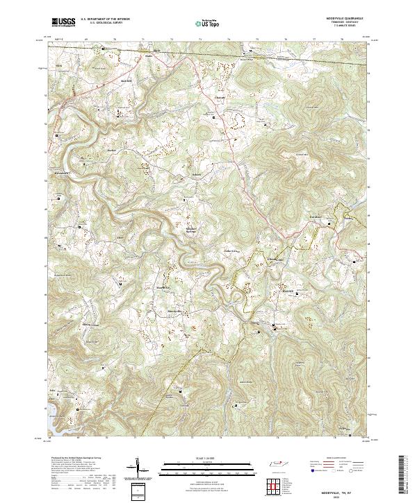
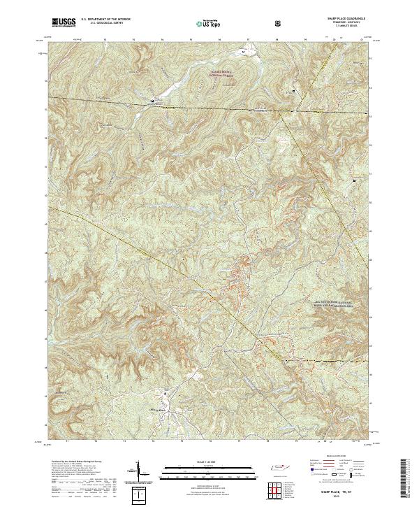
Gilreath Mill stands as a focal point in this portion of Pickett County, where the Wolf River winds through a landscape defined by significant family-named ridges and gaps. The map documents a dense network of family burials, including the Edgefield Cem, Parris-Riley Cem, and Scott-Rich Cem, providing a detailed record for genealogical research in rural Tennessee.
Find a feature on this map
157 named features on this map. Tap any name to fly to it.
Don’t see what you’re looking for? This feature index may not catch every label — zoom into the map to look around manually.
Map Details
Date Portrayed2022
Date Published2022
PublisherU.S. Geological Survey
Map TypeTopographic
Scale1:24000
Physical Dimensions24 x 29 inches
Editions of this 2022 Moodyville Map
This is the sole edition of this map. No revisions or reprints were ever made.
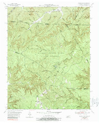
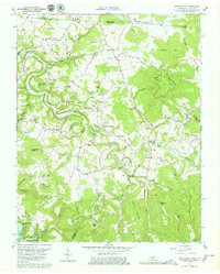
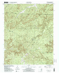
Historical Maps of Static Through Time
5 maps found
Featured Locations
Source Details
SourceU.S. Geological Survey
CopyrightPublic Domain