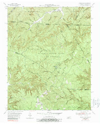
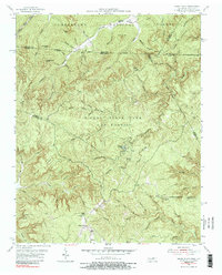
1955 Map of Sharp Place
USGS Topo · Published 1989About this map
Pickett State Park and Forest dominates the center of this mid-century landscape, straddling the border between Tennessee and Kentucky. The area is defined by a network of creeks and hollows, including Natural Bridge Creek and the notable geologic formation of the Natural Bridge itself. Small upland settlements and rural institutions are scattered across the terrain, reflecting the era's community structure before the mid-80s photoinspection. These include the village of Sharp Place and the Akers Chapel church, along with family-linked sites like the Sharp Place Cem. Educational life is marked by several neighborhood schools such as Sharp Sch and Branum Sch. On the northern edge, the Cumberland National Forest extends across the state line, where the landscape rises toward features like Pinnacle Mtn and Big Brushy Mountain.
Find a feature on this map
75 named features on this map. Tap any name to fly to it.
Don’t see what you’re looking for? This feature index may not catch every label — zoom into the map to look around manually.
Map Details
Editions of this 1955 Sharp Place Map
5 editions found
Other maps of this area

1895 · Wartburg
USGS Topo · 1:125,000

1896 · Wartburg
USGS Topo · 1:125,000

1934 · Barthell
USGS Topo · 1:62,500

1934 · Pall Mall
USGS Topo · 1:62,500

1952 · Honey Creek
USGS Topo · 1:24,000

1954 · Stockton
USGS Topo · 1:24,000

1954 · Parmleysville
USGS Topo · 1:24,000

1954 · Jamestown
USGS Topo · 1:24,000

1954 · Powersburg
USGS Topo · 1:24,000

1954 · Bell Farm
USGS Topo · 1:24,000