
1954 Map of Stockton
USGS Topo · Published 1955About this map
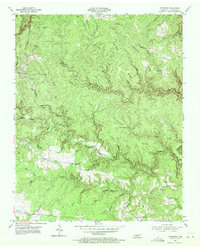
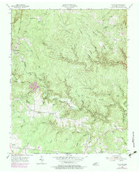
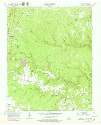
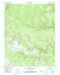
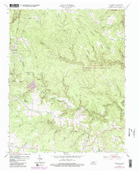
East Jamestown sits on the western edge of this mid-century survey, where the rolling plateau begins its descent into the deep, dendritic drainage systems of the Cumberland Plateau. The landscape is defined by the winding course of Laurel Fork and North White Oak Creek, which have carved intricate ridges such as Sliphuck Ridge and Tar Kiln Ridge. This 1954 field check captures several small upland communities, including Stockton and Armathwaite, at a time when local life was anchored by institutions like the Stockton Sch and the Alticrest Sch. The map reveals a pattern of ridge-top settlements and valley-floor cemeteries, such as the Potter Cem and Terry Cem, suggesting a rural economy tied to the narrow corridors of available flat land and the numerous branches of the White Oak Creek system.
Find a feature on this map
55 named features on this map. Tap any name to fly to it.
Don’t see what you’re looking for? This feature index may not catch every label — zoom into the map to look around manually.
Map Details
Editions of this 1954 Stockton Map
6 editions found
Other maps of this area

1895 · Wartburg
USGS Topo · 1:125,000

1896 · Wartburg
USGS Topo · 1:125,000

1934 · Barthell
USGS Topo · 1:62,500

1934 · Pall Mall
USGS Topo · 1:62,500

1952 · Honey Creek
USGS Topo · 1:24,000

1952 · Rugby
USGS Topo · 1:24,000

1954 · Burrville
USGS Topo · 1:24,000

1954 · Jamestown
USGS Topo · 1:24,000

1954 · Grimsley
USGS Topo · 1:24,000
1954 · Pall Mall
USGS Topo · 1:24,000