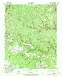
1954 Map of Stockton
USGS Topo · Published 1972About this map
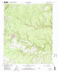
The plateau and creek-cut terrain of Fentress County are documented in this 1954 survey, centered on the small rural community of Stockton. The landscape is dominated by the winding path of North White Oak Creek and its many tributaries, including Tar Kiln Branch and Yellow Creek, which carve deep into the sandstone. High ridges like Crockett Ridge and Boon Ridge define the local topography, while the settlement pattern is sparse, concentrated primarily near schools and churches that served the agricultural and timber-dependent population.
Find a feature on this map
61 named features on this map. Tap any name to fly to it.
Don’t see what you’re looking for? This feature index may not catch every label — zoom into the map to look around manually.
Map Details
Editions of this 1954 Stockton Map
6 editions found
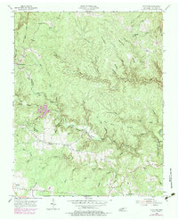
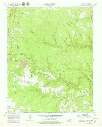
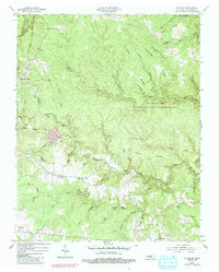
Other maps of this area

1895 · Wartburg
USGS Topo · 1:125,000

1896 · Wartburg
USGS Topo · 1:125,000

1934 · Barthell
USGS Topo · 1:62,500

1934 · Pall Mall
USGS Topo · 1:62,500

1952 · Honey Creek
USGS Topo · 1:24,000

1952 · Rugby
USGS Topo · 1:24,000

1954 · Stockton
USGS Topo · 1:24,000

1954 · Burrville
USGS Topo · 1:24,000

1954 · Jamestown
USGS Topo · 1:24,000

1954 · Grimsley
USGS Topo · 1:24,000