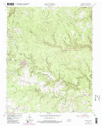
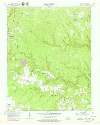
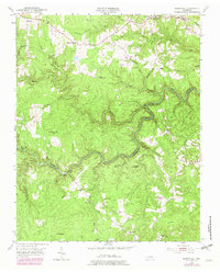
1954 Map of Stockton
USGS Topo · Published 1984About this map
The plateau landscape of Fentress County, Tennessee, is defined by the winding gorge of Laurel Fork and the extensive network of the Big South Fork National River And Recreation Area. In the early 1950s, the rural character of this region was anchored by small communities such as Stockton and East Jamestown, where local life centered around institutions like Stockton Sch and Alticrest Sch. The terrain is marked by numerous family and community burial grounds, including Potter Cem and Royalston Cem, which serve as vital markers for genealogical research in this part of the Cumberland Plateau.
Find a feature on this map
72 named features on this map. Tap any name to fly to it.
Don’t see what you’re looking for? This feature index may not catch every label — zoom into the map to look around manually.
Map Details
Editions of this 1954 Stockton Map
6 editions found
Historical Maps of Allardt Through Time
37 maps found
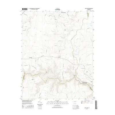
1936 Jones Knob
Fentress County, TN
1949 Jones Knob
Fentress County, TN
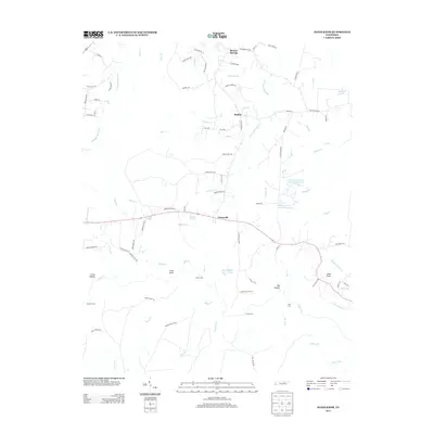
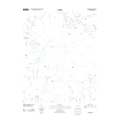
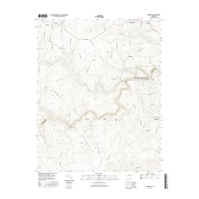
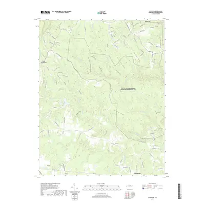
1954 Burrville
Fentress County, TN
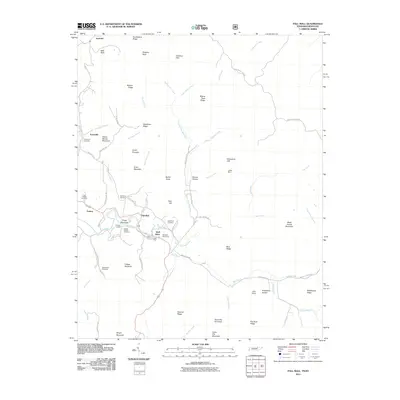
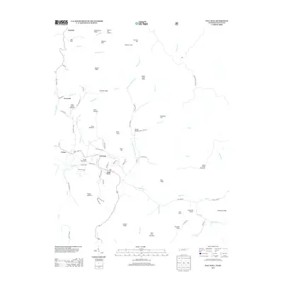
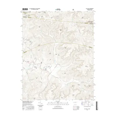
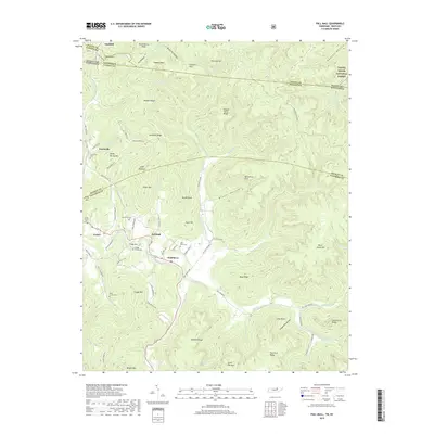
1954 Pall Mall
Fentress County, TN
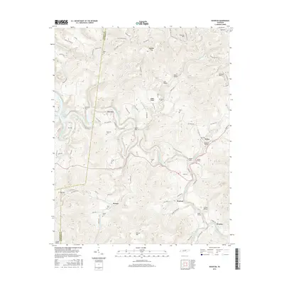
1954 Stockton
Fentress County, TN
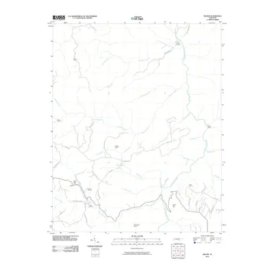
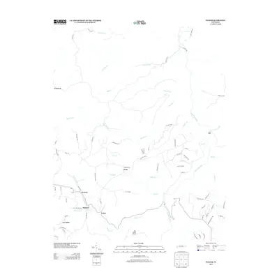
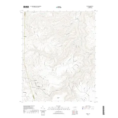
1955 Wilder
Fentress County, TN
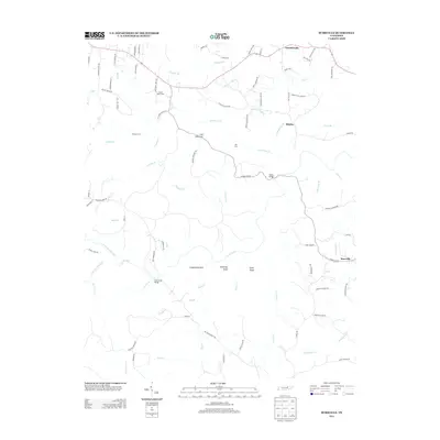
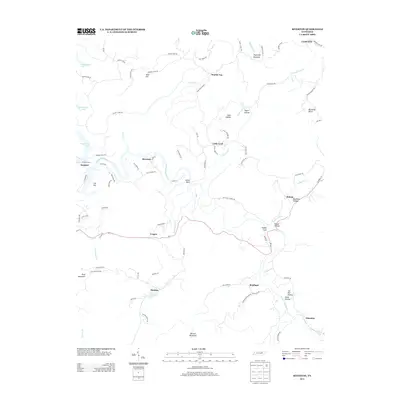
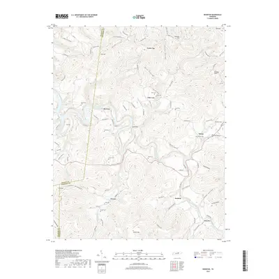
1956 Riverton
Fentress County, TN
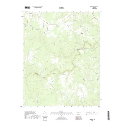
2010 Burrville
Fentress County, TN
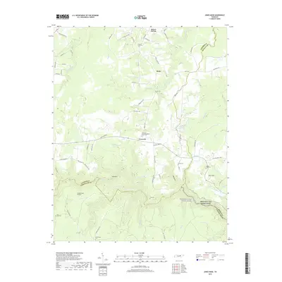
2010 Jones Knob
Fentress County, TN
2010 Riverton
Fentress County, TN
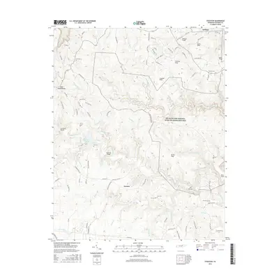
2010 Stockton
Fentress County, TN
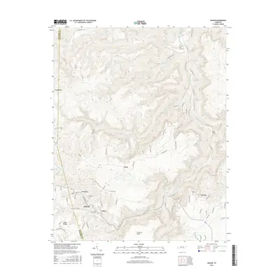
2010 Wilder
Fentress County, TN
2011 Pall Mall
Fentress County, TN
2013 Burrville
Fentress County, TN
2013 Jones Knob
Fentress County, TN
2013 Pall Mall
Fentress County, TN
2013 Riverton
Fentress County, TN
2013 Stockton
Fentress County, TN
2013 Wilder
Fentress County, TN
2016 Burrville
Fentress County, TN
2016 Jones Knob
Fentress County, TN
2016 Pall Mall
Fentress County, TN
2016 Riverton
Fentress County, TN
2016 Stockton
Fentress County, TN
2016 Wilder
Fentress County, TN
2019 Burrville
Fentress County, TN
2019 Jones Knob
Fentress County, TN
2019 Pall Mall
Fentress County, TN
2019 Riverton
Fentress County, TN
2019 Stockton
Fentress County, TN
2019 Wilder
Fentress County, TN
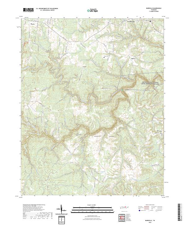
2022 Burrville
Fentress County, TN
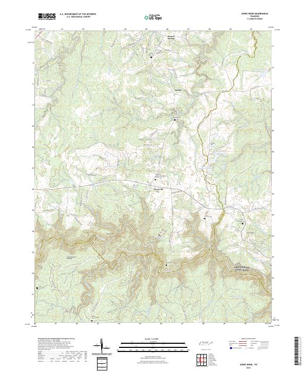
2022 Jones Knob
Fentress County, TN
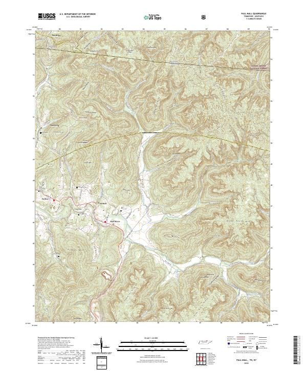
2022 Pall Mall
Fentress County, TN
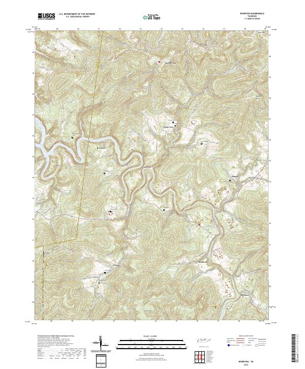
2022 Riverton
Fentress County, TN
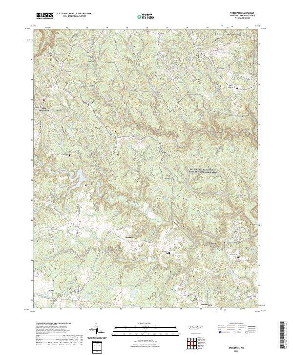
2022 Stockton
Fentress County, TN
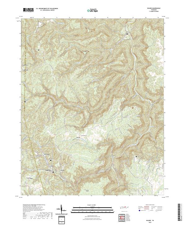
2022 Wilder
Fentress County, TN