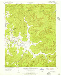
1954 Map of Pall Mall
USGS Topo · Published 1956About this map
Pall Mall and the surrounding borderlands of Fentress County and Pickett County sit at the heart of this mid-1950s survey. The landscape is defined by the winding course of the Wolf River and its numerous tributaries, such as Rotten Fork Wolf River and Buckeye Lick Creek. This era reveals a community deeply rooted in its local institutions, evidenced by the concentration of small rural churches and schools including York Chapel, Frogge Chapel, and the Rotten Fork Sch. The Alvin C York Highway serves as the primary artery through the valley, connecting the scattered settlements of Forbus and Travisville across a terrain of high ridges like Honey Spring Mountain and Blue Ridge. Genealogists will find significant value in the detailed placement of the Wolf River Cem and various family-named landmarks like Steve Pile Mountain and Watson Goodman Ridge, which reflect the long-standing multi-generational ties to these hollows.
Find a feature on this map
75 named features on this map. Tap any name to fly to it.
Don’t see what you’re looking for? This feature index may not catch every label — zoom into the map to look around manually.
Map Details
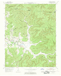
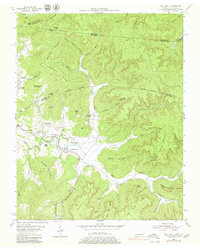
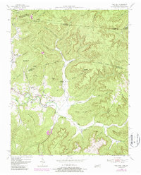
Editions of this 1954 Pall Mall Map
4 editions found
Other maps of this area

1895 · Wartburg
USGS Topo · 1:125,000

1896 · Wartburg
USGS Topo · 1:125,000

1897 · Standingstone
USGS Topo · 1:125,000

1898 · Standingstone
USGS Topo · 1:125,000

1929 · Byrdstown
USGS Topo · 1:62,500

1934 · Pall Mall
USGS Topo · 1:62,500

1954 · Stockton
USGS Topo · 1:24,000

1954 · Parmleysville
USGS Topo · 1:24,000

1954 · Jamestown
USGS Topo · 1:24,000

1954 · Savage
USGS Topo · 1:24,000