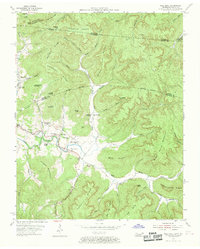
1954 Map of Pall Mall
USGS Topo · Published 1970About this map
The valley of the Wolf River serves as the focal point for this mid-century survey of the Tennessee-Kentucky borderlands. Centered on the community of Pall Mall, the landscape is defined by its connection to local history and the Alvin York Highway. Educational and spiritual life is well-documented through numerous landmarks such as the York Bible Sch, York Chapel, and Rotten Fork Sch. The terrain is characterized by prominent elevations like Arion Mountain and Frogge Mountain, which overlook a network of hollows and creeks including Buckeye Lick Creek and Fallen Water Creek. Geological features such as Blowing Cave and the Horseshoe Cliff stand alongside industrial traces like the Quarry near Forbus. This area, partially contained within the Cumberland National Forest, reveals a settlement pattern of small schools and churches that anchored rural life before the modernization of the late 20th century.
Find a feature on this map
75 named features on this map. Tap any name to fly to it.
Don’t see what you’re looking for? This feature index may not catch every label — zoom into the map to look around manually.
Map Details
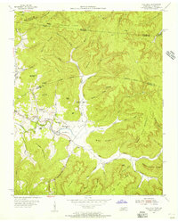
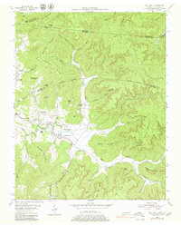
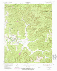
Editions of this 1954 Pall Mall Map
4 editions found
Other maps of this area

1895 · Wartburg
USGS Topo · 1:125,000

1896 · Wartburg
USGS Topo · 1:125,000

1897 · Standingstone
USGS Topo · 1:125,000

1898 · Standingstone
USGS Topo · 1:125,000

1929 · Byrdstown
USGS Topo · 1:62,500

1934 · Pall Mall
USGS Topo · 1:62,500

1954 · Stockton
USGS Topo · 1:24,000

1954 · Parmleysville
USGS Topo · 1:24,000

1954 · Jamestown
USGS Topo · 1:24,000

1954 · Savage
USGS Topo · 1:24,000