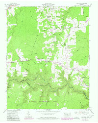
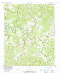
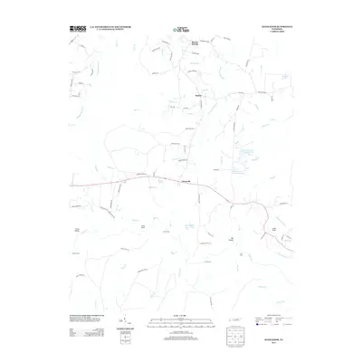
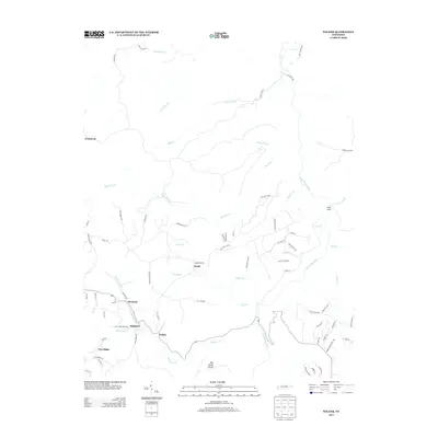
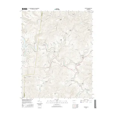
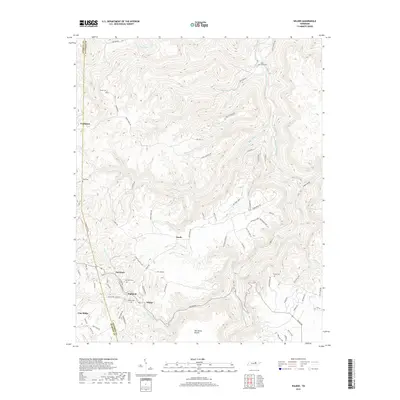
1955 Map of Wilder
USGS Topo · Published 1979About this map
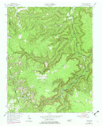
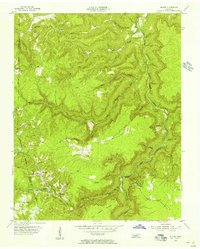
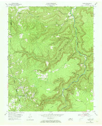
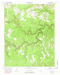
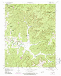
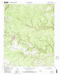
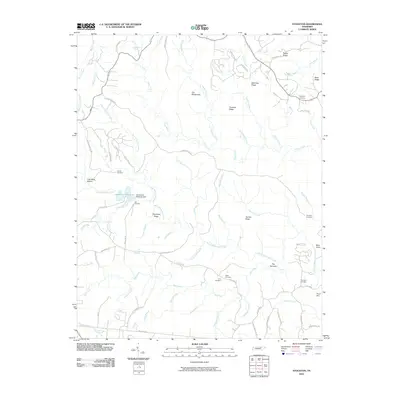
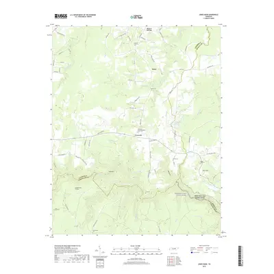
Wilder and the surrounding coal-mining communities of the Cumberland Plateau are documented in this mid-century survey, photorevised in the late 1970s. The landscape is defined by the sharp incision of the East Fork Obey River and its numerous tributaries, including Bills Creek and Big Piney Creek. The era's industrial footprint is clearly visible through extensive Strip Mines and several smaller Strip Mine operations that scar the ridges between Highland and Davidson. These industrial sites contrast with the rural infrastructure of the early 20th century, such as Sweetgum Sch and Bills Creek Sch. Genealogists will find value in the scattered family burial grounds like Turner Cem, Sells Cem, and Goney Cem, which anchor the local history of these upland settlements near the Overton and Fentress County line.
Find a feature on this map
33 named features on this map. Tap any name to fly to it.
Don’t see what you’re looking for? This feature index may not catch every label — zoom into the map to look around manually.
Map Details
Editions of this 1955 Wilder Map
3 editions found
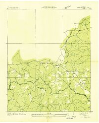
Historical Maps of Wilder Through Time
37 maps found
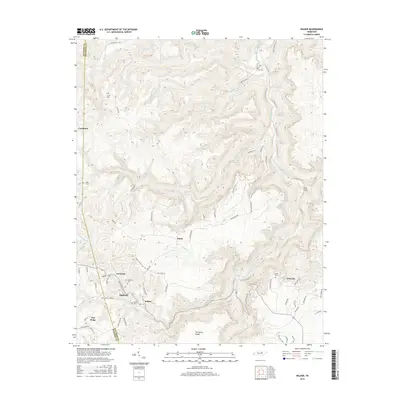
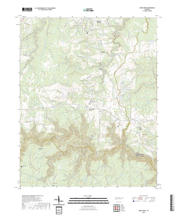
1936 Jones Knob
Fentress County, TN
1949 Jones Knob
Fentress County, TN
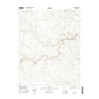
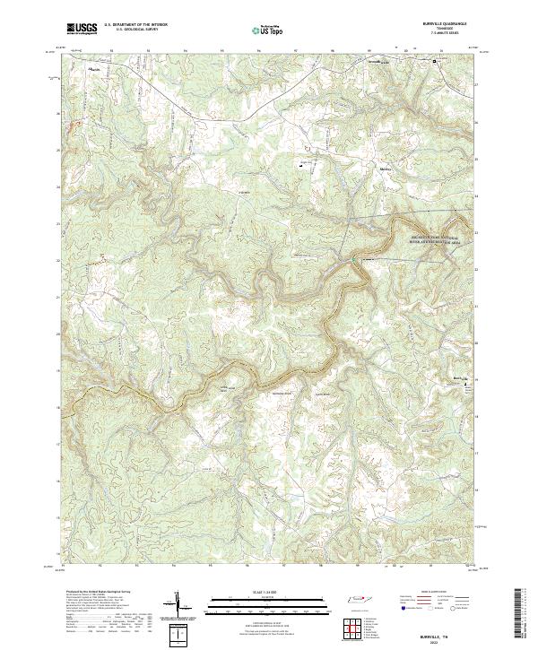
1954 Burrville
Fentress County, TN
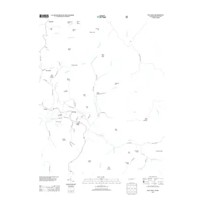
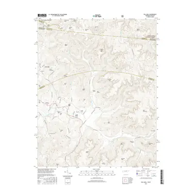
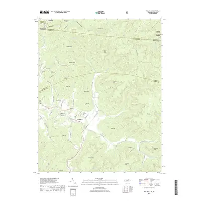
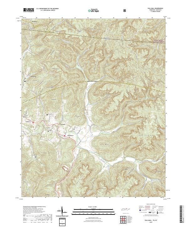
1954 Pall Mall
Fentress County, TN
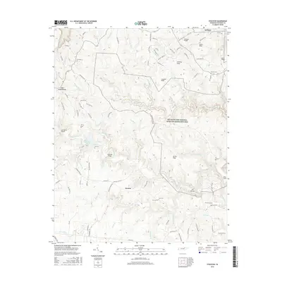
1954 Stockton
Fentress County, TN
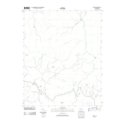
1955 Wilder
Fentress County, TN
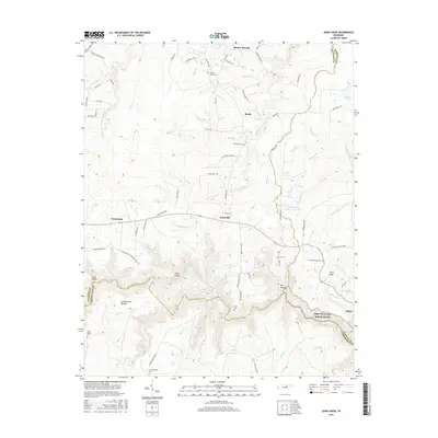
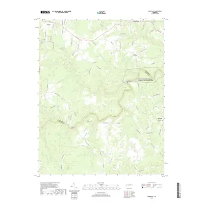
1956 Riverton
Fentress County, TN
2010 Burrville
Fentress County, TN
2010 Jones Knob
Fentress County, TN
2010 Riverton
Fentress County, TN
2010 Stockton
Fentress County, TN
2010 Wilder
Fentress County, TN
2011 Pall Mall
Fentress County, TN
2013 Burrville
Fentress County, TN
2013 Jones Knob
Fentress County, TN
2013 Pall Mall
Fentress County, TN
2013 Riverton
Fentress County, TN
2013 Stockton
Fentress County, TN
2013 Wilder
Fentress County, TN
2016 Burrville
Fentress County, TN
2016 Jones Knob
Fentress County, TN
2016 Pall Mall
Fentress County, TN
2016 Riverton
Fentress County, TN
2016 Stockton
Fentress County, TN
2016 Wilder
Fentress County, TN
2019 Burrville
Fentress County, TN
2019 Jones Knob
Fentress County, TN
2019 Pall Mall
Fentress County, TN
2019 Riverton
Fentress County, TN
2019 Stockton
Fentress County, TN
2019 Wilder
Fentress County, TN
2022 Burrville
Fentress County, TN
2022 Jones Knob
Fentress County, TN
2022 Pall Mall
Fentress County, TN
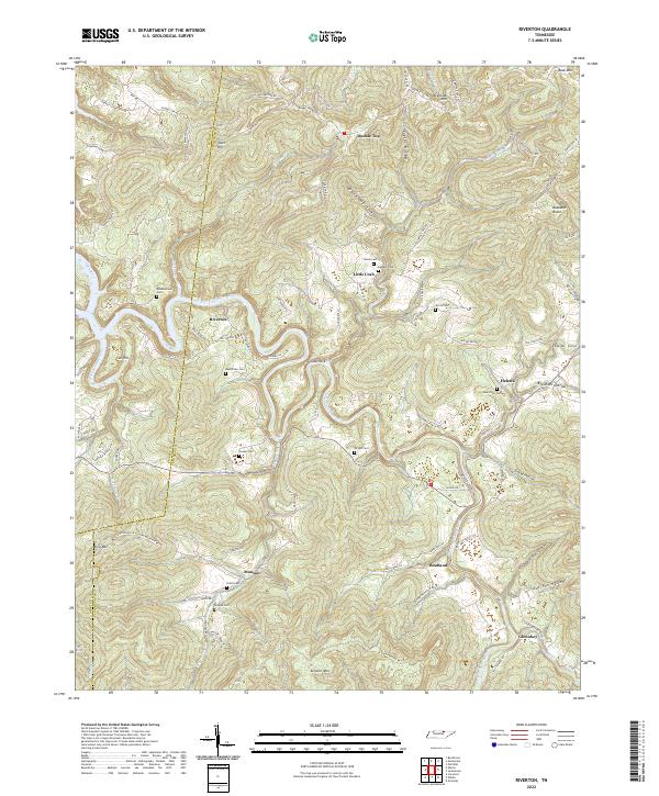
2022 Riverton
Fentress County, TN
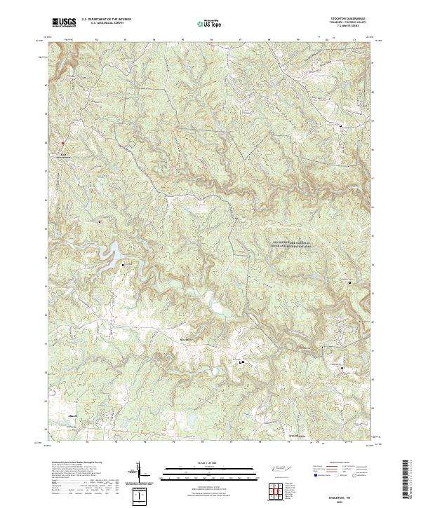
2022 Stockton
Fentress County, TN
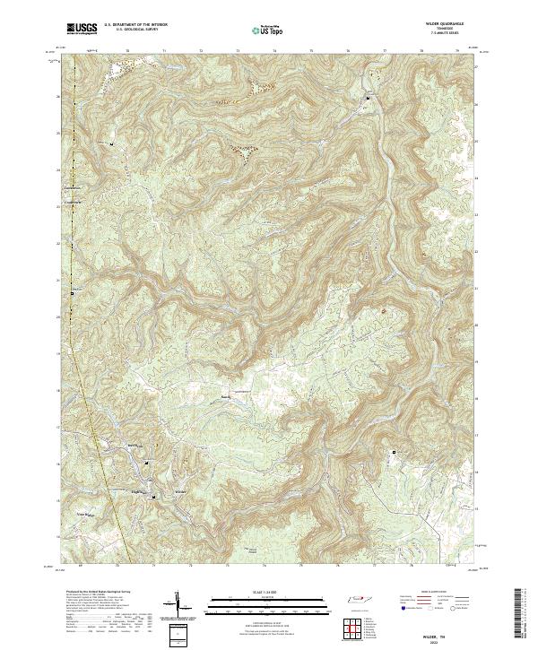
2022 Wilder
Fentress County, TN