
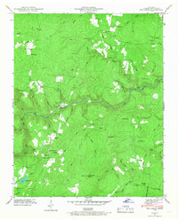
1935 Map of Clarkrange
USGS Topo · Published 1935About this map
Clarkrange and the surrounding rural plateau of the Cumberland region are captured in this 1935 survey, conducted shortly after the completion of the Alvin G York Highway. This roadway, alongside State Highway No 28, represents the primary modernization of transport through this section of Fentress and Cumberland counties during the mid-Depression era. The landscape is defined by the winding paths of Clear Creek and the curiously named How Come You Creek, which carve through the plateau. A small settlement at Rinnie and a network of trails and secondary roads, such as Business, illustrate the localized social and economic patterns of the period. Compiled from early aerial photography by the Tennessee Valley Authority and USGS, the map provides a transition from traditional trails to the emerging highway system that would define the area's development.
Find a feature on this map
16 named features on this map. Tap any name to fly to it.
Don’t see what you’re looking for? This feature index may not catch every label — zoom into the map to look around manually.
Map Details
Editions of this 1935 Clarkrange Map
This is the sole edition of this map. No revisions or reprints were ever made.
Other maps of this area

1895 · Wartburg
USGS Topo · 1:125,000

1896 · Wartburg
USGS Topo · 1:125,000

1897 · Standingstone
USGS Topo · 1:125,000

1898 · Standingstone
USGS Topo · 1:125,000

1935 · Isoline
USGS Topo · 1:24,000

1935 · Campbell Junction
USGS Topo · 1:24,000

1936 · Fox Creek
USGS Topo · 1:24,000

1936 · Jones Knob
USGS Topo · 1:24,000
1946 · Fox Creek
USGS Topo · 1:24,000

1946 · Campbell Junction
USGS Topo · 1:24,000