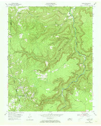
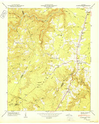
1955 Map of Wilder
USGS Topo · Published 1973About this map
The East Fork Obey River carves a deep valley through this portion of the Cumberland Plateau, where the rugged topography of Fentress and Overton counties dictated the development of isolated mining and timber communities. The Central Tennessee railroad line follows the contours of the southern hills, serving coal operations such as the prominent Strip Mines that mark the hillsides near Wilder. These settlements, including Davidson and Highland, are closely tied to the extraction industry, with small schoolhouses like Sweetgum Sch and Bills Creek Sch providing the social infrastructure for the families living along the creek branches.
Find a feature on this map
31 named features on this map. Tap any name to fly to it.
Don’t see what you’re looking for? This feature index may not catch every label — zoom into the map to look around manually.
Map Details
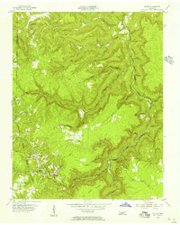
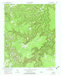
Editions of this 1955 Wilder Map
3 editions found
Other maps of this area

1895 · Wartburg
USGS Topo · 1:125,000

1896 · Wartburg
USGS Topo · 1:125,000

1897 · Standingstone
USGS Topo · 1:125,000

1898 · Standingstone
USGS Topo · 1:125,000

1935 · Clarkrange
USGS Topo · 1:24,000

1936 · Jones Knob
USGS Topo · 1:24,000

1946 · Clarkrange
USGS Topo · 1:24,000

1946 · Obey City
USGS Topo · 1:24,000
1949 · Jones Knob
USGS Topo · 1:24,000
1950 · Clarkrange
USGS Topo · 1:24,000