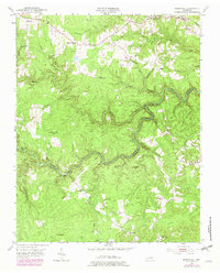
1954 Map of Burrville
USGS Topo · Published 1979About this map
The Clear Fork river carves a winding path through the borderlands of Fentress Co and Morgan Co, defining a landscape of high ridges and deep drainage basins. While much of the terrain is dominated by features like Iron Mountain and Galloway Knob, the human presence is recorded in a network of small upland communities such as Burrville, Allardt, and Armathwaite. The settlement pattern reflects a mid-century rural Tennessee life centered on small country churches and local education, evidenced by the presence of Pleasant View Ch, Center Belle Ch, and Gatewood Sch.
Find a feature on this map
37 named features on this map. Tap any name to fly to it.
Don’t see what you’re looking for? This feature index may not catch every label — zoom into the map to look around manually.
Map Details
Editions of this 1954 Burrville Map
4 editions found

Other maps of this area

1895 · Wartburg
USGS Topo · 1:125,000

1896 · Wartburg
USGS Topo · 1:125,000

1935 · Pilot Mountain
USGS Topo · 1:24,000

1936 · Twin Bridges
USGS Topo · 1:24,000

1936 · Jones Knob
USGS Topo · 1:24,000

1943 · Twin Bridges
USGS Topo · 1:24,000
1945 · Twin Bridges
USGS Topo · 1:24,000
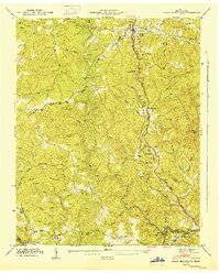
1946 · Pilot Mountain
USGS Topo · 1:24,000
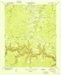
1949 · Jones Knob
USGS Topo · 1:24,000

1952 · Honey Creek
USGS Topo · 1:24,000