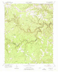
1954 Map of Burrville
USGS Topo · Published 1975About this map
Armathwaite and Shirley anchor the upper reaches of this Cumberland Plateau landscape, where the deeply incised gorge of the Clear Fork river creates a winding boundary between Fentress and Morgan Counties. The mid-1950s terrain is marked by a network of rural institutions, including the Pleasant View Ch and Silver Pine Sch, which served the scattered ridge-top communities before the consolidation of mountain schools. The transport patterns reflect a reliance on historic crossing points like Howard Ford and the Gatewood Bridge, while the Tennessee Valley Divide runs through the southern section, separating the drainage systems.
Find a feature on this map
45 named features on this map. Tap any name to fly to it.
Don’t see what you’re looking for? This feature index may not catch every label — zoom into the map to look around manually.
Map Details
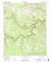
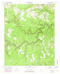
Editions of this 1954 Burrville Map
4 editions found

Other maps of this area

1895 · Wartburg
USGS Topo · 1:125,000

1896 · Wartburg
USGS Topo · 1:125,000

1935 · Pilot Mountain
USGS Topo · 1:24,000

1936 · Twin Bridges
USGS Topo · 1:24,000

1936 · Jones Knob
USGS Topo · 1:24,000

1943 · Twin Bridges
USGS Topo · 1:24,000
1945 · Twin Bridges
USGS Topo · 1:24,000
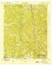
1946 · Pilot Mountain
USGS Topo · 1:24,000
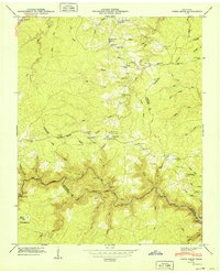
1949 · Jones Knob
USGS Topo · 1:24,000

1952 · Honey Creek
USGS Topo · 1:24,000