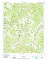
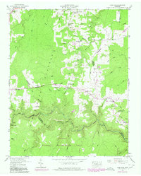
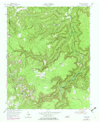
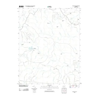
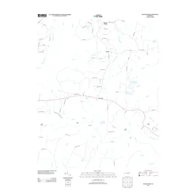
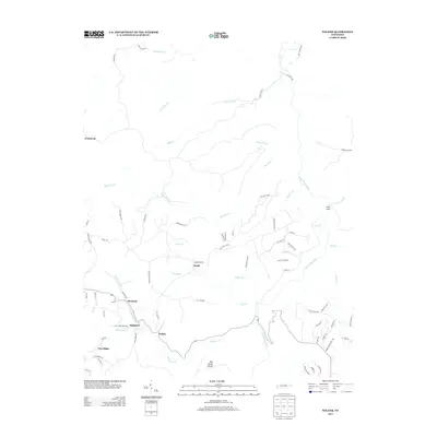
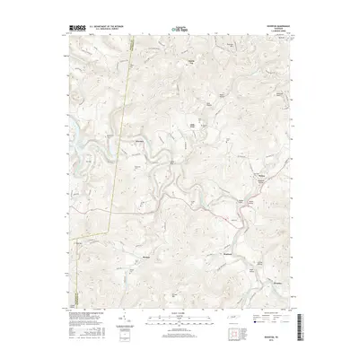
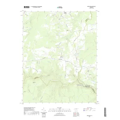
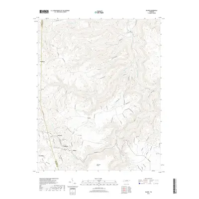
1956 Map of Riverton
USGS Topo · Published 1991About this map
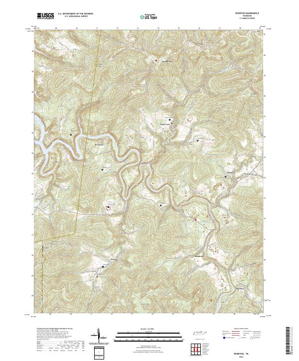
Dale Hollow Lake and the winding course of the Obey River define this landscape along the border of Pickett and Fentress counties. The mid-century topography reveals a rural network of ridge-top schools and creek-bottom settlements such as Little Crab and Riverton. Education and faith were clearly central to these isolated communities, evidenced by the high density of institutions like the Broad Door Sch, Indian Manson Sch, and the Cedar Grove Ch. The terrain is marked by distinctive local landmarks such as Buzzards Roost and Tater Hill, while the East Fork and Poplar Cove Creek carve deep valleys through the plateau. Small family cemeteries, including Hinds Cem and Bowden Cem, are scattered across the hillsides, providing essential data for those tracing the ancestral lines of the Highland Rim region.
Find a feature on this map
65 named features on this map. Tap any name to fly to it.
Don’t see what you’re looking for? This feature index may not catch every label — zoom into the map to look around manually.
Map Details
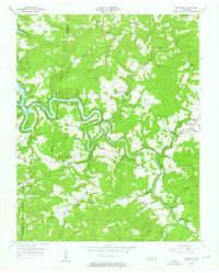
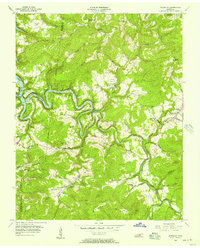
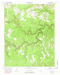
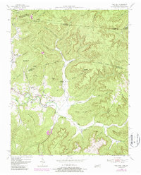
Editions of this 1956 Riverton Map
3 editions found
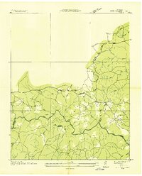
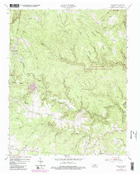
Historical Maps of Boatland Through Time
37 maps found
1936 Jones Knob
Fentress County, TN
1949 Jones Knob
Fentress County, TN
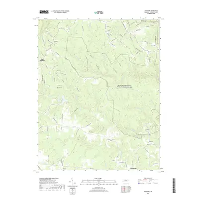
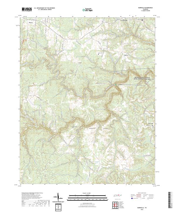
1954 Burrville
Fentress County, TN
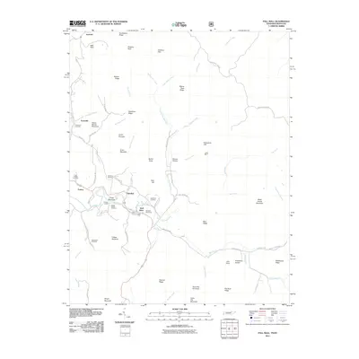
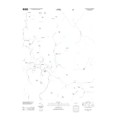
1954 Pall Mall
Fentress County, TN
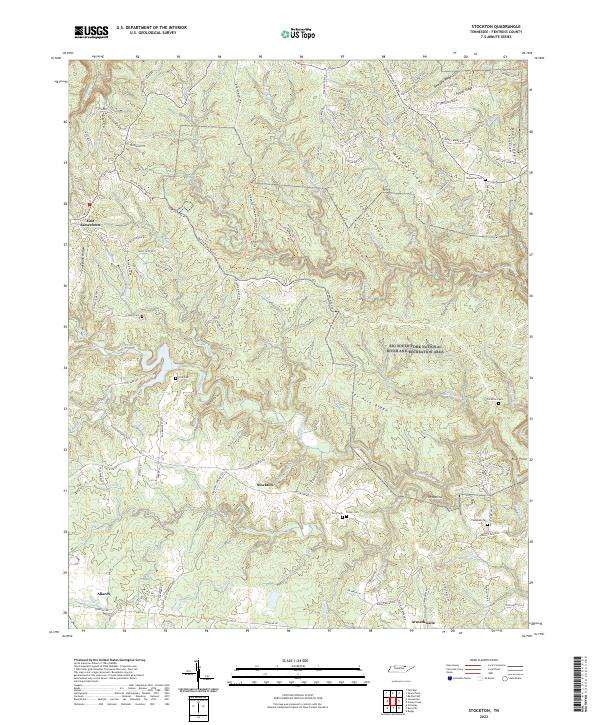
1954 Stockton
Fentress County, TN
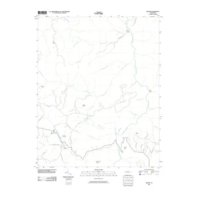
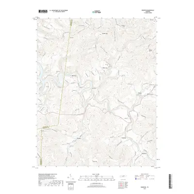
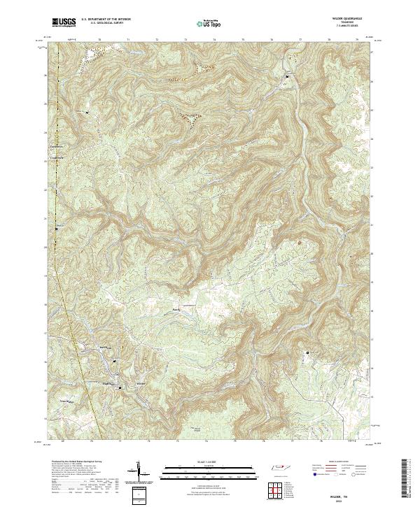
1955 Wilder
Fentress County, TN
1956 Riverton
Fentress County, TN
2010 Burrville
Fentress County, TN
2010 Jones Knob
Fentress County, TN
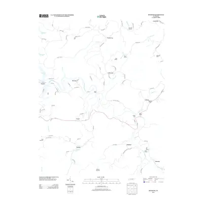
2010 Riverton
Fentress County, TN
2010 Stockton
Fentress County, TN
2010 Wilder
Fentress County, TN
2011 Pall Mall
Fentress County, TN
2013 Burrville
Fentress County, TN
2013 Jones Knob
Fentress County, TN
2013 Pall Mall
Fentress County, TN
2013 Riverton
Fentress County, TN
2013 Stockton
Fentress County, TN
2013 Wilder
Fentress County, TN
2016 Burrville
Fentress County, TN
2016 Jones Knob
Fentress County, TN
2016 Pall Mall
Fentress County, TN
2016 Riverton
Fentress County, TN
2016 Stockton
Fentress County, TN
2016 Wilder
Fentress County, TN
2019 Burrville
Fentress County, TN
2019 Jones Knob
Fentress County, TN
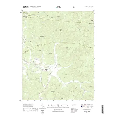
2019 Pall Mall
Fentress County, TN
2019 Riverton
Fentress County, TN
2019 Stockton
Fentress County, TN
2019 Wilder
Fentress County, TN
2022 Burrville
Fentress County, TN
2022 Jones Knob
Fentress County, TN
2022 Pall Mall
Fentress County, TN
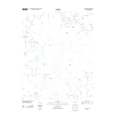
2022 Riverton
Fentress County, TN
2022 Stockton
Fentress County, TN
2022 Wilder
Fentress County, TN