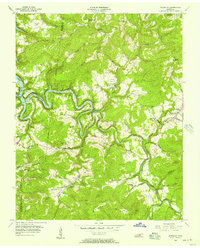
1956 Map of Riverton
USGS Topo · Published 1957About this map
Dale Hollow Reservoir and the winding Obey River dominate this mid-century portrait of Fentress County, where the rising waters of the reservoir reach an elevation of 651 feet at the Spillway. The landscape is a network of ridges and hollows, including Skinner Mountain and Pickett Mountain, punctuated by numerous rural community centers and family-named landmarks. Small settlements like Riverton and Little Crab are the focus of a dispersed population, supported by a dense concentration of local institutions such as Cedar Grove Ch and Broad Door Sch.
Find a feature on this map
61 named features on this map. Tap any name to fly to it.
Don’t see what you’re looking for? This feature index may not catch every label — zoom into the map to look around manually.
Map Details
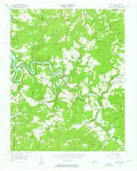
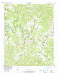
Editions of this 1956 Riverton Map
3 editions found
Other maps of this area

1895 · Wartburg
USGS Topo · 1:125,000

1896 · Wartburg
USGS Topo · 1:125,000

1897 · Standingstone
USGS Topo · 1:125,000

1898 · Standingstone
USGS Topo · 1:125,000

1929 · Byrdstown
USGS Topo · 1:62,500

1934 · Pall Mall
USGS Topo · 1:62,500

1954 · Crawford
USGS Topo · 1:24,000

1954 · Jamestown
USGS Topo · 1:24,000

1954 · Grimsley
USGS Topo · 1:24,000
1954 · Pall Mall
USGS Topo · 1:24,000