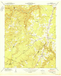
1950 Map of Clarkrange
USGS Topo · Published 1950About this map
The Cumberland Plateau dominates this mid-century landscape, where the Alvin C York Highway serves as the primary north-south artery for high-ground settlements. The map illustrates a distinctive transition from the level plateau lands around Clarkrange to the deeply incised drainage systems of the East Fork Obey River. Along the western reaches, numerous branches such as Hurricane Branch and Whiteoak Branch carve through Steel Tram Ridge and Lost Mountain, revealing the complex topography that historically isolated many upland communities.
Find a feature on this map
85 named features on this map. Tap any name to fly to it.
Don’t see what you’re looking for? This feature index may not catch every label — zoom into the map to look around manually.
Map Details
Editions of this 1950 Clarkrange Map
2 editions found
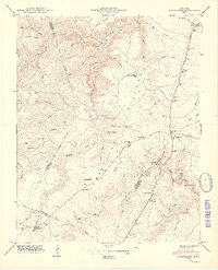
Other maps of this area

1895 · Wartburg
USGS Topo · 1:125,000

1896 · Wartburg
USGS Topo · 1:125,000

1897 · Standingstone
USGS Topo · 1:125,000

1898 · Standingstone
USGS Topo · 1:125,000

1935 · Isoline
USGS Topo · 1:24,000

1935 · Campbell Junction
USGS Topo · 1:24,000

1935 · Clarkrange
USGS Topo · 1:24,000

1936 · Fox Creek
USGS Topo · 1:24,000

1936 · Jones Knob
USGS Topo · 1:24,000
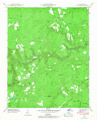
1946 · Fox Creek
USGS Topo · 1:24,000