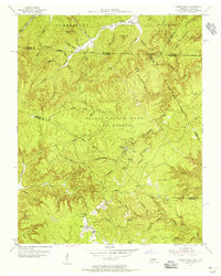
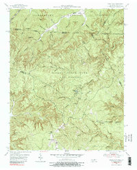
1955 Map of Sharp Place
USGS Topo · Published 1956About this map
Sharp Place serves as a focal point for this mid-1950s survey of the borderlands between Kentucky and Tennessee. The landscape is defined by the extensive reaches of Pickett State Park and Forest and the Cumberland National Forest, where the topography is heavily dissected by drainages like Rock Creek and Pogue Creek. Human presence is concentrated around isolated institutions and family landmarks, such as Akers Chapel and the Sharp School.
Find a feature on this map
78 named features on this map. Tap any name to fly to it.
Don’t see what you’re looking for? This feature index may not catch every label — zoom into the map to look around manually.
Map Details
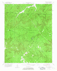
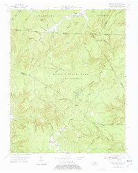
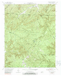
Editions of this 1955 Sharp Place Map
5 editions found
Other maps of this area

1895 · Wartburg
USGS Topo · 1:125,000

1896 · Wartburg
USGS Topo · 1:125,000

1934 · Barthell
USGS Topo · 1:62,500

1934 · Pall Mall
USGS Topo · 1:62,500

1952 · Honey Creek
USGS Topo · 1:24,000

1954 · Stockton
USGS Topo · 1:24,000

1954 · Parmleysville
USGS Topo · 1:24,000

1954 · Jamestown
USGS Topo · 1:24,000

1954 · Powersburg
USGS Topo · 1:24,000

1954 · Bell Farm
USGS Topo · 1:24,000