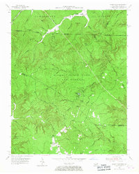
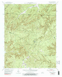
1955 Map of Sharp Place
USGS Topo · Published 1967About this map
Sharp Place and its nearby school, Sharp Sch, sit at the southern edge of this mid-century survey, representing a remote pocket of settlement on the border of Pickett and Fentress counties. The landscape is defined by the high elevations of Phillip Ridge and Flint Ridge, giving way to the protected woodlands of Pickett State Park and Forest and the Cumberland National Forest. Local history is preserved in small family and community burial grounds, such as Sharp Place Cem and Branum Cem, which dot the hollows near Lick Hollow and Johnson Branch. The terrain is marked by significant geological features including a Natural Bridge and Hazard Cave, reflecting the drainage patterns of Thompson Creek and Little Rock Fork. This topography reveals the isolation of early ridge-top and valley-floor sites like Akers Chapel before the further development of state and national forest infrastructure.
Find a feature on this map
70 named features on this map. Tap any name to fly to it.
Don’t see what you’re looking for? This feature index may not catch every label — zoom into the map to look around manually.
Map Details
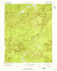
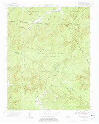
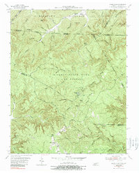
Editions of this 1955 Sharp Place Map
5 editions found
Other maps of this area

1895 · Wartburg
USGS Topo · 1:125,000

1896 · Wartburg
USGS Topo · 1:125,000

1934 · Barthell
USGS Topo · 1:62,500

1934 · Pall Mall
USGS Topo · 1:62,500

1952 · Honey Creek
USGS Topo · 1:24,000

1954 · Stockton
USGS Topo · 1:24,000

1954 · Parmleysville
USGS Topo · 1:24,000

1954 · Jamestown
USGS Topo · 1:24,000

1954 · Powersburg
USGS Topo · 1:24,000

1954 · Bell Farm
USGS Topo · 1:24,000