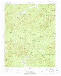
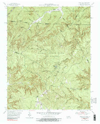
1955 Map of Sharp Place
USGS Topo · Published 1976About this map
Pickett State Park and Forest dominates this mid-century landscape, a rugged expanse of the Cumberland Plateau where the Tennessee-Kentucky border cuts through dense timber and deep hollows. The tiny settlement of Sharp Place serves as a focal point for local history, supported by community landmarks like Akers Chapel, the Sharp Sch, and the nearby Sharp Place Cem. The terrain is characterized by dramatic sandstone features, including a Natural Bridge and Hazard Cave, while the surrounding forest is divided by several county lines involving Pickett, Fentress, Scott, Wayne, and McCreary counties.
Find a feature on this map
82 named features on this map. Tap any name to fly to it.
Don’t see what you’re looking for? This feature index may not catch every label — zoom into the map to look around manually.
Map Details
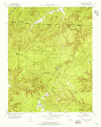
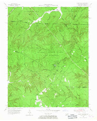
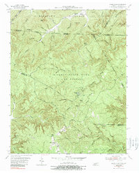
Editions of this 1955 Sharp Place Map
5 editions found
Other maps of this area

1895 · Wartburg
USGS Topo · 1:125,000

1896 · Wartburg
USGS Topo · 1:125,000

1934 · Barthell
USGS Topo · 1:62,500

1934 · Pall Mall
USGS Topo · 1:62,500

1952 · Honey Creek
USGS Topo · 1:24,000

1954 · Stockton
USGS Topo · 1:24,000

1954 · Parmleysville
USGS Topo · 1:24,000

1954 · Jamestown
USGS Topo · 1:24,000

1954 · Powersburg
USGS Topo · 1:24,000

1954 · Bell Farm
USGS Topo · 1:24,000