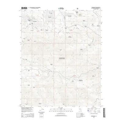
2015 Map of Moonridge
USGS Topo · Published 2015About this map
Big Bear Lake and the high-elevation communities of the San Bernardino National Forest are captured here during a period of modern development within their historic mountain setting. The map details the residential clusters of Sugarloaf, Woodlands, and Moonridge as they interface with the natural topography of the Bear Valley region. This survey highlights the complex network of mountain drainages and summits, from Sugarloaf Mtn down to the Santa Ana River headwaters. Notable for researchers is the alignment of the Pacific Crest National Scenic Trail as it traverses the eastern ridges. The presence of established recreational landmarks like Heart Bar Campground and Barton Flats illustrates the era's focus on forest access, while family-named terrain features such as Stocker Meadows and Gocke Valley provide clues for local genealogy and land-use history.
Find a feature on this map
74 named features on this map. Tap any name to fly to it.
Don’t see what you’re looking for? This feature index may not catch every label — zoom into the map to look around manually.
Map Details
Editions of this 2015 Moonridge Map
This is the sole edition of this map. No revisions or reprints were ever made.
Other maps of this area

1901 · Southern California Sheet No. 1
USGS Topo · 1:250,000

1902 · San Gorgonio
USGS Topo · 1:125,000

1904 · Southern California Sheet No. 1
USGS Topo · 1:250,000

1947 · Lucerne Valley
USGS Topo · 1:62,500

1949 · Lucerne Valley
USGS Topo · 1:62,500

1953 · San Bernardino
USGS Topo · 1:250,000

1954 · San Gorgonio Mountain
USGS Topo · 1:62,500

1955 · Old Woman Springs
USGS Topo · 1:62,500

1955 · Morongo Valley
USGS Topo · 1:62,500

1956 · San Bernardino
USGS Topo · 1:250,000