
1955 Map of Old Woman Springs
USGS Topo · Published 1956About this map
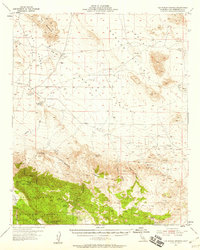
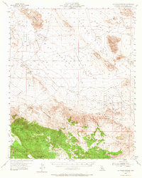
Old Woman Springs and its surrounding desert basin are revealed here during the mid-1950s, a landscape defined by isolated water sources and mining prospects. The transition from the flat, arid expanses of Johnson Valley and Upper Johnson Valley to the southern highlands of the San Bernardino National Forest is marked by a series of named desert springs including Two Hole Spring, One Hole Spring, and Rock Corral Spring. Evidence of early industrial activity is scattered across the terrain, with the Bessemer Mine in the north and various unnamed shafts and prospects indicating the area's mineral interest.
Find a feature on this map
33 named features on this map. Tap any name to fly to it.
Don’t see what you’re looking for? This feature index may not catch every label — zoom into the map to look around manually.
Map Details
Editions of this 1955 Old Woman Springs Map
3 editions found
Other maps of this area

1901 · Southern California Sheet No. 1
USGS Topo · 1:250,000

1902 · San Gorgonio
USGS Topo · 1:125,000

1904 · Southern California Sheet No. 1
USGS Topo · 1:250,000

1947 · Lucerne Valley
USGS Topo · 1:62,500

1949 · Lucerne Valley
USGS Topo · 1:62,500

1953 · San Bernardino
USGS Topo · 1:250,000

1954 · Galway Lake
USGS Topo · 1:24,000

1954 · Emerson Lake
USGS Topo · 1:24,000

1954 · San Gorgonio Mountain
USGS Topo · 1:62,500

1955 · Lavic
USGS Topo · 1:62,500