
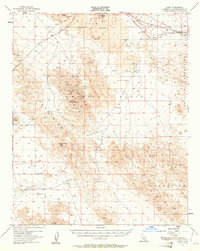
1955 Map of Lavic
USGS Topo · Published 1956About this map
Pisgah Crater and its surrounding lava flow dominate the northern landscape of this mid-century desert survey, illustrating a terrain defined by volcanic activity and industrial extraction. The Atchison Topeka and Santa Fe railway tracks cut across the northern corridor, serving the small settlements of Lavic and Argos. This rail connection was vital for the numerous mining operations scattered throughout the area, including the National Lead Mine, Mowry Mine, and the Imperial Lode Mine.
Find a feature on this map
27 named features on this map. Tap any name to fly to it.
Don’t see what you’re looking for? This feature index may not catch every label — zoom into the map to look around manually.
Map Details
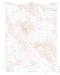
Editions of this 1955 Lavic Map
3 editions found
Other maps of this area

1901 · Southern California Sheet No. 1
USGS Topo · 1:250,000

1902 · San Gorgonio
USGS Topo · 1:125,000

1904 · Southern California Sheet No. 1
USGS Topo · 1:250,000

1953 · San Bernardino
USGS Topo · 1:250,000

1954 · Galway Lake
USGS Topo · 1:24,000

1954 · Hidalgo Mtn
USGS Topo · 1:24,000

1954 · Emerson Lake
USGS Topo · 1:24,000

1955 · Deadman Lake NW
USGS Topo · 1:24,000

1955 · Ludlow
USGS Topo · 1:24,000

1955 · Lavic SE
USGS Topo · 1:24,000