
1955 Map of Ludlow
USGS Topo · Published 1955About this map
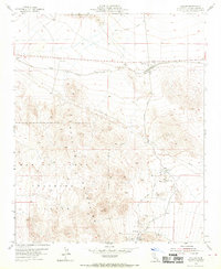
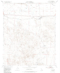
The desert crossroads of Ludlow serves as the focal point of this Mojave landscape, where the Atchison Topeka And Santa Fe railway meets historical infrastructure. The map reveals a complex history of extraction and transportation, from the northern Cady Mountains down to the mining activity around Stedman in the south. Notable industrial sites include the Bagdad Chase Mine and the Old Pete Mine, which sit amidst the rugged terrain of the Bullion Mountains.
Find a feature on this map
26 named features on this map. Tap any name to fly to it.
Don’t see what you’re looking for? This feature index may not catch every label — zoom into the map to look around manually.
Map Details
Editions of this 1955 Ludlow Map
3 editions found
Other maps of this area

1953 · San Bernardino
USGS Topo · 1:250,000

1954 · Ludlow SE
USGS Topo · 1:24,000

1955 · Lavic SE
USGS Topo · 1:24,000

1955 · Morgans Well
USGS Topo · 1:24,000

1955 · Ash Hill
USGS Topo · 1:24,000

1955 · Lavic Lake
USGS Topo · 1:24,000

1955 · Lavic
USGS Topo · 1:62,500

1955 · Cady Mountains
USGS Topo · 1:62,500

1955 · Broadwell Lake
USGS Topo · 1:62,500

1955 · Ludlow
USGS Topo · 1:62,500