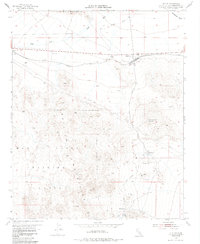
1955 Map of Ludlow
USGS Topo · Published 1985About this map
Ludlow serves as the central hub of this Mojave Desert landscape, positioned along the Atchison Topeka and Santa Fe railroad and the iconic Route 66. The mapping captures a period of industrial transition, where active mining operations like the Bagdad Chase Mine near Stedman contrast with the Ragtown (Ruins) further north. To the west, Argos marks another point along the rail line, shadowed by the Cady Mountains and dissected by the broad Argos Wash. The southern half of the sheet is dominated by the Marine Corps Training Center, reflecting the mid-century military expansion into the high desert. Historical infrastructure is well-preserved here, including an Old Railroad Grade and the Los Angeles-Amarillo Airway Beacon 17 perched near Swede Hill, offering a clear look at early aviation and transport networks.
Find a feature on this map
29 named features on this map. Tap any name to fly to it.
Don’t see what you’re looking for? This feature index may not catch every label — zoom into the map to look around manually.
Map Details
Editions of this 1955 Ludlow Map
3 editions found
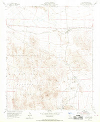
Other maps of this area

1953 · San Bernardino
USGS Topo · 1:250,000

1954 · Ludlow SE
USGS Topo · 1:24,000

1955 · Ludlow
USGS Topo · 1:24,000

1955 · Lavic SE
USGS Topo · 1:24,000

1955 · Morgans Well
USGS Topo · 1:24,000

1955 · Ash Hill
USGS Topo · 1:24,000

1955 · Lavic Lake
USGS Topo · 1:24,000

1955 · Lavic
USGS Topo · 1:62,500

1955 · Cady Mountains
USGS Topo · 1:62,500

1955 · Broadwell Lake
USGS Topo · 1:62,500