
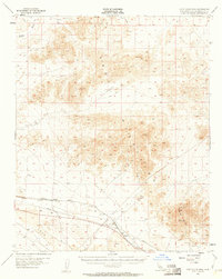
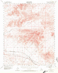
1955 Map of Cady Mountains
USGS Topo · Published 1956About this map
The Cady Mountains dominate this arid landscape, a region defined by mid-century mining and transcontinental rail infrastructure. Sparse desert outposts like Hector and Pisgah serve as key points along the Atchison Topeka and Santa Fe railroad, which parallels a major pipeline and telegraph network across the southern portion of the map. Evidence of the area's mineral extraction history is scattered throughout the peaks and valleys, with operations such as the Logan Mine, Black Butte Mine, Preston Mine, and Paymaster Mine marking significant resource claims. The terrain itself is characterized by volcanic features, including extensive lava flows and distinct peaks such as Sleeping Beauty and Flat Top. Water sources are notably scarce, indicated by labels for a solitary Well and a Windmill, while the Mojave River passes through the northwestern corner near a series of jeep trails that navigate the high desert.
Find a feature on this map
26 named features on this map. Tap any name to fly to it.
Don’t see what you’re looking for? This feature index may not catch every label — zoom into the map to look around manually.
Map Details
Editions of this 1955 Cady Mountains Map
3 editions found
Other maps of this area

1933 · Avawatz Mountains
USGS Topo · 1:250,000

1947 · Trona
USGS Topo · 1:250,000

1948 · Trona
USGS Topo · 1:250,000

1948 · Alvord Mountain
USGS Topo · 1:62,500

1948 · Cave Mountain
USGS Topo · 1:62,500

1951 · Cave Mountain
USGS Topo · 1:62,500

1951 · Alvord Mountain
USGS Topo · 1:62,500

1953 · San Bernardino
USGS Topo · 1:250,000

1953 · Trona
USGS Topo · 1:250,000

1955 · Ludlow
USGS Topo · 1:24,000