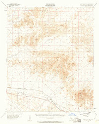
1955 Map of Cady Mountains
USGS Topo · Published 1961About this map
Cady Mountains and the stark volcanic landscape of Lava dominate this mid-century survey of the Mojave Desert. The industrial footprint of the region is clearly marked by the Atchison Topeka and Santa Fe railroad, which parallels a major Pipeline through the southern corridor. Small settlements like Hector and Pisgah serve as lonely outposts along this rail line, providing vital access points for the surrounding mining operations.
Find a feature on this map
25 named features on this map. Tap any name to fly to it.
Don’t see what you’re looking for? This feature index may not catch every label — zoom into the map to look around manually.
Map Details
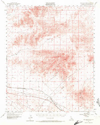
Editions of this 1955 Cady Mountains Map
3 editions found

Other maps of this area

1933 · Avawatz Mountains
USGS Topo · 1:250,000

1947 · Trona
USGS Topo · 1:250,000

1948 · Trona
USGS Topo · 1:250,000

1948 · Alvord Mountain
USGS Topo · 1:62,500

1948 · Cave Mountain
USGS Topo · 1:62,500

1951 · Cave Mountain
USGS Topo · 1:62,500

1951 · Alvord Mountain
USGS Topo · 1:62,500

1953 · San Bernardino
USGS Topo · 1:250,000

1953 · Trona
USGS Topo · 1:250,000

1955 · Ludlow
USGS Topo · 1:24,000