
1948 Map of Cave Mountain
USGS Topo · Published 1956About this map
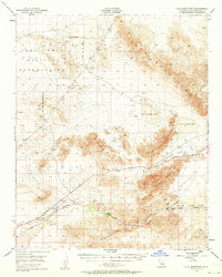
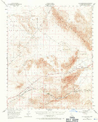
Camp Irwin Military Reservation dominates the northwestern portion of this Mojave Desert landscape, its boundaries surveyed just as post-war military expansion redefined the region. The map captures a critical transportation corridor where the Union Pacific railroad and the Arrowhead Trail parallel the Mojave River through the narrow gap between the Cady Mountains and the Cave Mountain range. Small railroad-aligned settlements like Midway, Dunn, and Afton serve as isolated outposts in an arid environment defined by the fluctuating levels of East Cronese Lake and West Cronese Lake. The presence of Bitter Spring in the north and the deep cutting of Afton Canyon reveal the geological constraints that dictated travel and settlement patterns in this part of San Bernardino County during the late 1940s.
Find a feature on this map
21 named features on this map. Tap any name to fly to it.
Don’t see what you’re looking for? This feature index may not catch every label — zoom into the map to look around manually.
Map Details
Editions of this 1948 Cave Mountain Map
3 editions found
Other maps of this area

1933 · Avawatz Mountains
USGS Topo · 1:250,000

1947 · Trona
USGS Topo · 1:250,000

1948 · Red Pass Lake
USGS Topo · 1:62,500

1948 · Trona
USGS Topo · 1:250,000

1948 · Alvord Mountain
USGS Topo · 1:62,500

1948 · Tiefort Mountains
USGS Topo · 1:62,500

1951 · Tiefort Mountains
USGS Topo · 1:62,500

1951 · Cave Mountain
USGS Topo · 1:62,500

1951 · Alvord Mountain
USGS Topo · 1:62,500

1951 · Red Pass Lake
USGS Topo · 1:62,500