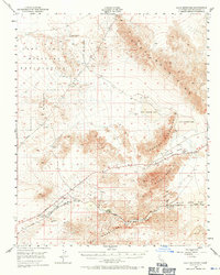
1948 Map of Cave Mountain
USGS Topo · Published 1971About this map
The Camp Irwin Military Reservation dominates the high desert topography of this 1948 survey, reaching across the northern expanse where the Soda Mountains and Cronese Mountains converge. The southern portion of the map is defined by the Mojave River as it winds through Mojave Canyon, followed closely by the Union Pacific railroad corridor. This transportation spine supported a string of small desert outposts including Midway, Dunn, and New Dunn.
Find a feature on this map
21 named features on this map. Tap any name to fly to it.
Don’t see what you’re looking for? This feature index may not catch every label — zoom into the map to look around manually.
Map Details
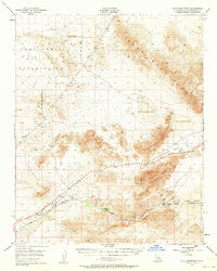
Editions of this 1948 Cave Mountain Map
3 editions found
Other maps of this area

1933 · Avawatz Mountains
USGS Topo · 1:250,000

1947 · Trona
USGS Topo · 1:250,000

1948 · Red Pass Lake
USGS Topo · 1:62,500

1948 · Trona
USGS Topo · 1:250,000

1948 · Alvord Mountain
USGS Topo · 1:62,500

1948 · Cave Mountain
USGS Topo · 1:62,500

1948 · Tiefort Mountains
USGS Topo · 1:62,500

1951 · Tiefort Mountains
USGS Topo · 1:62,500

1951 · Cave Mountain
USGS Topo · 1:62,500

1951 · Alvord Mountain
USGS Topo · 1:62,500