
1948 Map of Red Pass Lake
USGS Topo · Published 1948About this map
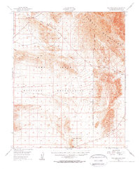
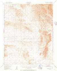
The high Mojave desert landscape is dominated by the sprawling Camp Irwin Military Reservation in this 1948 survey. To the north, the Avawatz Mountains define the horizon, their steep slopes dropping toward dry basins and ephemeral water sources. The map records several vital points of interest for local history and topography, including the namesake Red Pass Lake and the nearby Silver Lake. Of particular note for genealogical research is a small Cem located within the military boundaries, alongside historic watering spots like Bitter Spring. The presence of these features amidst the grid of the military reservation reflects the transition of this arid region from a site of early desert travel and small-scale settlement to a specialized tactical training ground.
Find a feature on this map
7 named features on this map. Tap any name to fly to it.
Don’t see what you’re looking for? This feature index may not catch every label — zoom into the map to look around manually.
Map Details
Editions of this 1948 Red Pass Lake Map
3 editions found
Other maps of this area

1933 · Avawatz Mountains
USGS Topo · 1:250,000

1947 · Trona
USGS Topo · 1:250,000

1948 · Trona
USGS Topo · 1:250,000

1948 · Alvord Mountain
USGS Topo · 1:62,500

1948 · Cave Mountain
USGS Topo · 1:62,500

1948 · Leach Lake
USGS Topo · 1:62,500

1948 · Avawatz Pass
USGS Topo · 1:62,500

1948 · Tiefort Mountains
USGS Topo · 1:62,500

1951 · Tiefort Mountains
USGS Topo · 1:62,500

1951 · Avawatz Pass
USGS Topo · 1:62,500