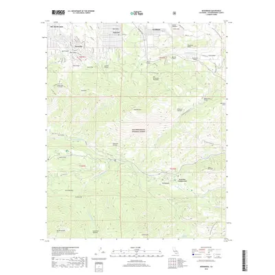
2018 Map of Moonridge
USGS Topo · Published 2018About this map
San Bernardino National Forest encompasses the vast majority of this high-altitude landscape, where residential developments like Moonridge and Sugarloaf meet the steep slopes of the San Bernardino Mountains. The topography is defined by significant peaks and ridges, including Sugarloaf Mtn and Heart Bar Peak, while water resources range from the southern edge of Big Bear Lake to the headwaters of the Santa Ana River. Lower elevations reveal specialized mountain meadows and flats, such as Barton Flats and Wildhorse Meadows, which have historically served as recreational and agricultural hubs. The presence of the Pacific Crest National Scenic Trail on the eastern edge highlights the area's role as a major corridor for wilderness travel. Further south, the map traces the S Fork Santa Ana River as it cuts through canyons below Poopout Hill and Grinnell Mtn.
Find a feature on this map
73 named features on this map. Tap any name to fly to it.
Don’t see what you’re looking for? This feature index may not catch every label — zoom into the map to look around manually.
Map Details
Editions of this 2018 Moonridge Map
This is the sole edition of this map. No revisions or reprints were ever made.
Other maps of this area

1901 · Southern California Sheet No. 1
USGS Topo · 1:250,000

1902 · San Gorgonio
USGS Topo · 1:125,000

1904 · Southern California Sheet No. 1
USGS Topo · 1:250,000

1947 · Lucerne Valley
USGS Topo · 1:62,500

1949 · Lucerne Valley
USGS Topo · 1:62,500

1953 · San Bernardino
USGS Topo · 1:250,000

1954 · San Gorgonio Mountain
USGS Topo · 1:62,500

1955 · Old Woman Springs
USGS Topo · 1:62,500

1955 · Morongo Valley
USGS Topo · 1:62,500

1956 · San Bernardino
USGS Topo · 1:250,000