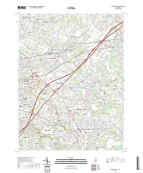
2023 Map of Moorestown
USGS Topo · Published 2023About this map
Moorestown-Lenola and its surrounding suburbs define this densely developed portion of the Camden and Burlington County border. The landscape is a complex of residential developments such as Wellington Park, Pheasant Run, and Stanwick Glen, woven together by major transit corridors like the Burlington Pike and Marlton Pike. Genealogy and local history are preserved in several significant burial grounds, including the Moorestown Friends Cem, Colestown Cem, and the Quaker heritage of the Cropwell Friends Cem.
Find a feature on this map
76 named features on this map. Tap any name to fly to it.
Don’t see what you’re looking for? This feature index may not catch every label — zoom into the map to look around manually.
Map Details
Editions of this 2023 Moorestown Map
This is the sole edition of this map. No revisions or reprints were ever made.
Other maps of this area

1888 · Mount Holly
USGS Topo · 1:62,500

1890 · Burlington
USGS Topo · 1:62,500

1891 · Philadelphia
USGS Topo · 1:62,500

1893 · Germantown
USGS Topo · 1:62,500

1893 · Burlington
USGS Topo · 1:62,500

1894 · Mount Holly
USGS Topo · 1:62,500

1894 · Philadelphia
USGS Topo · 1:62,500

1894 · Germantown
USGS Topo · 1:62,500

1896 · Germantown
USGS Topo · 1:62,500

1896 · Philadelphia
USGS Topo · 1:62,500
Featured Places
- Cherry Hill Township, NJ
- Mount Laurel Township, NJ
- Willingboro Township, NJ
- Moorestown Township, NJ
- Maple Shade Township, NJ