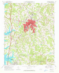
1969 Map of Mooresville
USGS Topo · Published 1972About this map
The expanding shoreline of Lake Norman dominates the western edge of this Iredell County landscape, contrasting with the established municipal center of Mooresville. To the south, the academic grounds of Davidson College anchor the town of Davidson, while the small community of Mt Mourne sits along the Southern railroad line. The map captures a mid-century period of development indicated by features like the Drive-in Theater and the Industrial Waste Pond south of the city core.
Find a feature on this map
50 named features on this map. Tap any name to fly to it.
Don’t see what you’re looking for? This feature index may not catch every label — zoom into the map to look around manually.
Map Details
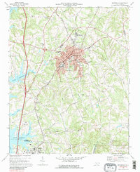
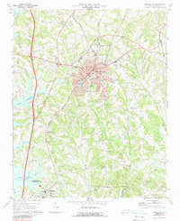
Editions of this 1969 Mooresville Map
3 editions found
Other maps of this area

1893 · Statesville
USGS Topo · 1:125,000

1941 · Charlotte
USGS Topo · 1:125,000

1942 · Charlotte
USGS Topo · 1:125,000

1949 · Kannapolis
USGS Topo · 1:24,000

1949 · Hicks Crossroads
USGS Topo · 1:24,000

1953 · Charlotte
USGS Topo · 1:250,000

1954 · Charlotte
USGS Topo · 1:250,000

1960 · Charlotte
USGS Topo · 1:250,000

1962 · Charlotte
USGS Topo · 1:250,000

1969 · Shepherds
USGS Topo · 1:24,000