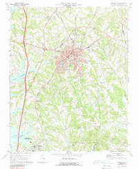
1969 Map of Mooresville
USGS Topo · Published 1988About this map
Mooresville serves as the central hub of this topographical study, which captures the region during a period of significant transition and suburbanization. To the west, the eastern shoreline of Lake Norman is visible, having recently reshaped the landscape with new inlets along Byers Creek and Reeds Creek. The core of town is well-defined, showing established institutions such as Lowrance Hospital, the Municipal Bldg, and several educational facilities like the Jr High Sch and Dunbar Sch.
Find a feature on this map
52 named features on this map. Tap any name to fly to it.
Don’t see what you’re looking for? This feature index may not catch every label — zoom into the map to look around manually.
Map Details
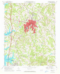
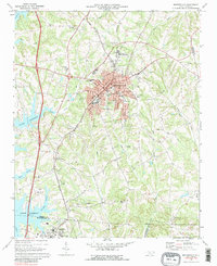
Editions of this 1969 Mooresville Map
3 editions found
Other maps of this area

1893 · Statesville
USGS Topo · 1:125,000

1941 · Charlotte
USGS Topo · 1:125,000

1942 · Charlotte
USGS Topo · 1:125,000

1949 · Kannapolis
USGS Topo · 1:24,000

1949 · Hicks Crossroads
USGS Topo · 1:24,000

1953 · Charlotte
USGS Topo · 1:250,000

1954 · Charlotte
USGS Topo · 1:250,000

1960 · Charlotte
USGS Topo · 1:250,000

1962 · Charlotte
USGS Topo · 1:250,000

1969 · Shepherds
USGS Topo · 1:24,000