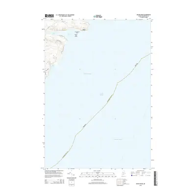
2014 Map of Moose River
USGS Topo · Published 2014About this map
The Grand Manan Channel dominates this coastal landscape, serving as a maritime threshold between the Maine coastline and the open Atlantic Ocean. Along the shore, the topography is defined by the sharp indentations of Moose Cove and Bog Brook Cove, where the land meets the sea at Eastern Head and the dangerous outcrops of Eastern Head Ledges. This maritime survey captures a sparsely developed stretch of the Downeast coast, where a handful of local routes like Cove Rd and Dixie Rd provide access to the water's edge. The presence of Little Moose Island and the mouth of the Moose River illustrate the complex interplay of tidal rivers and rocky islands that characterize the Washington County shoreline. The map documents the persistent boundaries of the Maine coast in the early twenty-first century, highlighting a landscape where natural features dictate the limited human footprint.
Find a feature on this map
15 named features on this map. Tap any name to fly to it.
Don’t see what you’re looking for? This feature index may not catch every label — zoom into the map to look around manually.
Map Details
Editions of this 2014 Moose River Map
This is the sole edition of this map. No revisions or reprints were ever made.
Other maps of this area

1907 · Eastport
USGS Topo · 1:48,000

1908 · Eastport
USGS Topo · 1:62,500

1917 · Cutler
USGS Topo · 1:62,500

1918 · Cutler
USGS Topo · 1:62,500

1943 · Eastport
USGS Topo · 1:62,500

1945 · Eastport
USGS Topo · 1:62,500

1949 · Whiting
USGS Topo · 1:24,000

1949 · West Lubec
USGS Topo · 1:24,000
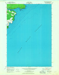
1949 · Moose River
USGS Topo · 1:24,000
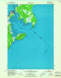
1949 · Lubec
USGS Topo · 1:24,000