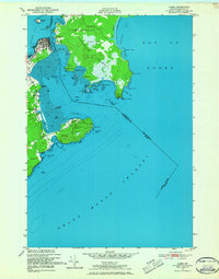
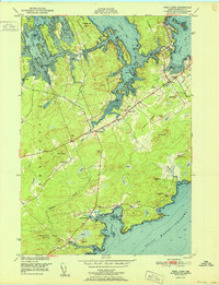
1949 Map of Lubec
USGS Topo · Published 1967About this map
Lubec sits at the far eastern edge of the United States, separated from Campobello Island and New Brunswick by the narrow Lubec Channel. This survey, based on aerial photography from 1946 and hydrographic data dating back to 1861, illustrates the intricate maritime landscape of the Bay of Fundy. The town is clustered on Lubec Neck, where a prominent Spire and numerous structures mark the settlement's core. Across the international boundary, Campobello Island reveals a terrain of rocky points and sheltered coves, including Deep Cove and Snug Cove.
Find a feature on this map
55 named features on this map. Tap any name to fly to it.
Don’t see what you’re looking for? This feature index may not catch every label — zoom into the map to look around manually.
Map Details
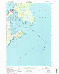
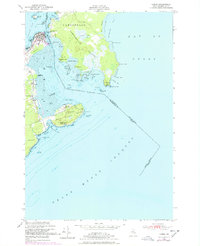
Editions of this 1949 Lubec Map
3 editions found
Other maps of this area

1907 · Eastport
USGS Topo · 1:48,000

1908 · Eastport
USGS Topo · 1:62,500

1917 · Cutler
USGS Topo · 1:62,500

1918 · Cutler
USGS Topo · 1:62,500

1943 · Eastport
USGS Topo · 1:62,500

1945 · Eastport
USGS Topo · 1:62,500

1949 · Eastport
USGS Topo · 1:24,000

1949 · West Lubec
USGS Topo · 1:24,000
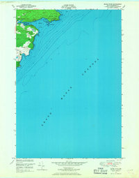
1949 · Moose River
USGS Topo · 1:24,000
1951 · West Lubec
USGS Topo · 1:24,000