
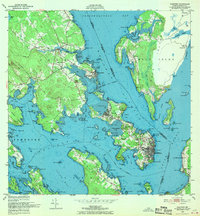
1949 Map of Eastport
USGS Topo · Published 1952About this map
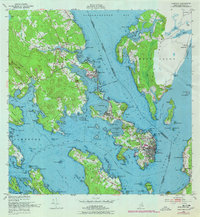
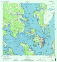
The maritime borderlands between Maine and New Brunswick are defined here by a dense archipelago and deep tidal waters. Eastport, America’s easternmost city, occupies most of Moose Island, connected to the mainland via the Maine Central railroad and Maine 190 corridors crossing Carlow Island. North of the city, the Pleasant Point Indian Reservation sits on a narrow peninsula overlooking the Western Passage.
Find a feature on this map
96 named features on this map. Tap any name to fly to it.
Don’t see what you’re looking for? This feature index may not catch every label — zoom into the map to look around manually.
Map Details
Editions of this 1949 Eastport Map
4 editions found
Other maps of this area

1907 · Eastport
USGS Topo · 1:48,000

1908 · Eastport
USGS Topo · 1:62,500

1929 · Robbinston
USGS Topo · 1:48,000

1931 · Robbinston
USGS Topo · 1:62,500

1943 · Eastport
USGS Topo · 1:62,500

1945 · Eastport
USGS Topo · 1:62,500

1949 · Robbinston
USGS Topo · 1:24,000

1949 · Whiting
USGS Topo · 1:24,000

1949 · Pembroke
USGS Topo · 1:24,000

1949 · Red Beach
USGS Topo · 1:24,000