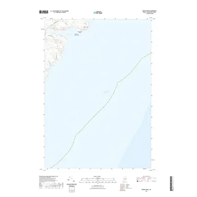
2021 Map of Moose River
USGS Topo · Published 2021About this map
The Grand Manan Channel dominates the eastern expanse of this coastal survey, where the international maritime boundary traces a path through the deep waters off the Maine coast. This particular stretch of shoreline in Lubec is defined by a series of prominent granite features and sheltered inlets, most notably Eastern Head and the nearby Eastern Head Ledges. Local access to this remote maritime landscape is provided by small coastal roads such as Moose River Rd and Shag Rock Rd, which lead toward the tidal waters.
Find a feature on this map
14 named features on this map. Tap any name to fly to it.
Don’t see what you’re looking for? This feature index may not catch every label — zoom into the map to look around manually.
Map Details
Editions of this 2021 Moose River Map
This is the sole edition of this map. No revisions or reprints were ever made.
Other maps of this area

1907 · Eastport
USGS Topo · 1:48,000

1908 · Eastport
USGS Topo · 1:62,500

1917 · Cutler
USGS Topo · 1:62,500

1918 · Cutler
USGS Topo · 1:62,500

1943 · Eastport
USGS Topo · 1:62,500

1945 · Eastport
USGS Topo · 1:62,500

1949 · Whiting
USGS Topo · 1:24,000

1949 · West Lubec
USGS Topo · 1:24,000
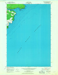
1949 · Moose River
USGS Topo · 1:24,000
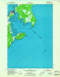
1949 · Lubec
USGS Topo · 1:24,000