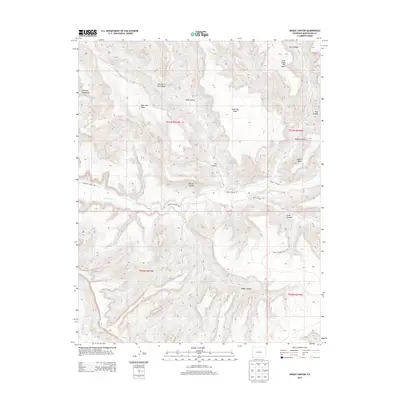
2013 Map of Moqui Canyon
USGS Topo · Published 2013About this map
Mancos River carves a deep path through this southwestern landscape, defining the primary drainage for a region dominated by high plateaus and steep-walled canyons. The northern portion of the sheet is dominated by the massive landform of Mesa Verde, which transitions into distinct fingers like Chapin Mesa and West Ute Mesa. This 2013 survey illustrates the dramatic topography where the high mesas drop precipitously into the Mancos and Moqui Canyon systems.
Find a feature on this map
22 named features on this map. Tap any name to fly to it.
Don’t see what you’re looking for? This feature index may not catch every label — zoom into the map to look around manually.
Map Details
Editions of this 2013 Moqui Canyon Map
This is the sole edition of this map. No revisions or reprints were ever made.
Other maps of this area

1889 · Chaco
USGS Topo · 1:250,000

1892 · Chaco
USGS Topo · 1:250,000

1912 · Soda Canyon
USGS Topo · 1:62,500

1915 · Soda Canyon
USGS Topo · 1:62,500

1934 · Chimney Rock
USGS Topo · 1:62,500

1936 · Chimney Rock
USGS Topo · 1:62,500

1954 · Shiprock
USGS Topo · 1:250,000

1956 · Cortez
USGS Topo · 1:250,000

1958 · Cortez
USGS Topo · 1:250,000

1958 · Shiprock
USGS Topo · 1:250,000