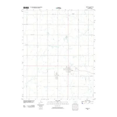
2009 Map of Moran
USGS Topo · Published 2009About this map
Moran serves as the central hub of this eastern Kansas landscape, situated at the crossroads of US Hwy 59 and 54. The town's grid is clearly defined, with streets like Cedar St and Birch St leading south toward the Moran Cemetery. This area marks a subtle hydrological divide, where the headwaters of the Marmaton River flow southeast while the South Fork Little Osage River and Little Deer Creek drain toward the north. A prominent local landmark, the Katy Lake Dam on Katy Lake, reflects the historical influence of the Missouri-Kansas-Texas Railroad in shaping the local water infrastructure and settlement patterns. Beyond the town limits, the terrain is characterized by a regular section-line road network, including names like Rhode Island Rd and Texas Rd, punctuated by the small northern community of Bayard.
Find a feature on this map
35 named features on this map. Tap any name to fly to it.
Don’t see what you’re looking for? This feature index may not catch every label — zoom into the map to look around manually.
Map Details
Editions of this 2009 Moran Map
This is the sole edition of this map. No revisions or reprints were ever made.
Other maps of this area

1885 · Garnett
USGS Topo · 1:125,000

1886 · Iola
USGS Topo · 1:125,000

1893 · Iola
USGS Topo · 1:125,000

1894 · Garnett
USGS Topo · 1:125,000

1904 · Iola
USGS Topo · 1:125,000

1947 · Lawrence
USGS Topo · 1:250,000

1947 · Joplin
USGS Topo · 1:250,000

1949 · Joplin
USGS Topo · 1:250,000

1950 · Lawrence
USGS Topo · 1:250,000

1954 · Joplin
USGS Topo · 1:250,000